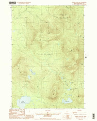
1988 Map of Number Four Mtn.
USGS Topo · Published 1988About this map
Bowdoin College Grant West and surrounding unorganized townships define this 1980s landscape in the Maine North Woods. The map captures a transition where massive timber tracts such as Frenchtown and Beaver Cove dominate the geography, characterized by high-elevation peaks and an intricate network of remote water bodies. Significant topographic features like Number Four Mtn and Elephant Mountain stand as landmarks over a terrain drained by numerous streams, including Lily Bay Brook and Lagoon Brook.
Find a feature on this map
29 named features on this map. Tap any name to fly to it.
Don’t see what you’re looking for? This feature index may not catch every label — zoom into the map to look around manually.
Map Details
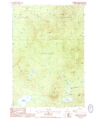
Editions of this 1988 Number Four Mtn. Map
2 editions found
Other maps of this area

1920 · Moosehead Lake
USGS Topo · 1:62,500

1922 · Moosehead Lake
USGS Topo · 1:62,500

1930 · Moosehead Lake
USGS Topo · 1:62,500

1944 · Moosehead Lake
USGS Topo · 1:62,500

1950 · Sebec Lake
USGS Topo · 1:62,500

1951 · Greenville
USGS Topo · 1:62,500

1952 · First Roach Pond
USGS Topo · 1:62,500

1954 · Millinocket
USGS Topo · 1:250,000

1957 · Moosehead Lake
USGS Topo · 1:62,500

1958 · Millinocket
USGS Topo · 1:250,000
Featured Places
- Greenville, ME
- Beaver Cove, ME
- Lily Bay Township, ME
- Bowdoin College Grant West Township, ME
- Frenchtown Township, ME