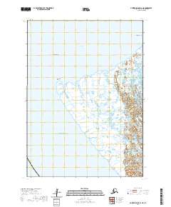
2020 Map of Nunivak Island B-1 NE
USGS Topo · Published 2020About this map
Nelson Island and its complex coastal interface define this portion of the Bering Sea coastline. The landscape is dominated by the intricate wetlands and tidal patterns characteristic of the Yukon-Kuskokwim Delta region. The settlement of Toksook Bay sits prominently on the western edge of the island, while Nightmute is positioned to the northeast, illustrating the established coastal residency patterns of the area. This 2020 edition documents the shifting coastal contours of Kangirlvar Bay and the prominent Chinigyak Cape, providing a clear look at the physical geography of the island before the onset of the decade. The map reveals the relationship between these remote communities and the surrounding maritime environment, emphasizing the importance of sheltered bays and navigable shorelines in this part of Alaska.
Find a feature on this map
10 named features on this map. Tap any name to fly to it.
Don’t see what you’re looking for? This feature index may not catch every label — zoom into the map to look around manually.
Map Details
Editions of this 2020 Nunivak Island B-1 NE Map
This is the sole edition of this map. No revisions or reprints were ever made.
Other maps of this area

1951 · Nunivak Island
USGS Topo · 1:250,000

1951 · Baird Inlet
USGS Topo · 1:250,000

1954 · Nunivak Island
USGS Topo · 1:250,000

1954 · Baird Inlet
USGS Topo · 1:250,000

1954 · Baird Inlet C-8
USGS Topo · 1:63,360

1954 · Nunivak Island B-1
USGS Topo · 1:63,360

1954 · Baird Inlet B-8
USGS Topo · 1:63,360

1954 · Nunivak Island C-1
USGS Topo · 1:63,360

1958 · Nunivak Island
USGS Topo · 1:250,000

1964 · Nunivak Island
USGS Topo · 1:250,000