
1954 Map of Nunivak Island B-1
USGS Topo · Published 1971About this map
Nelson Island dominates the eastern and northern reaches of this coastal Alaskan study, separated from the open sea by the expansive waters of the Etolin Strait. Along the northern shoreline of the island sits the settlement of Umkumiut, positioned near the waters of Kangirlvar Bay. The landscape is defined by its maritime boundaries, featuring prominent coastal landmarks such as Atrnak Point and the southwestern extension of Chinigyak Cape. Mapped using aerial photography from the mid-1950s, the document provides a detailed look at the island's hydrography and shoreline before later modern developments, capturing the isolated character of this region of Alaska's western coast. The intricate network of tidal channels and small water bodies on the island's interior suggests a complex wetland environment essential to the local geography.
Find a feature on this map
7 named features on this map. Tap any name to fly to it.
Don’t see what you’re looking for? This feature index may not catch every label — zoom into the map to look around manually.
Map Details
Editions of this 1954 Nunivak Island B-1 Map
This is the sole edition of this map. No revisions or reprints were ever made.
Other maps of this area

1951 · Nunivak Island
USGS Topo · 1:250,000

1951 · Baird Inlet
USGS Topo · 1:250,000
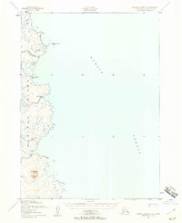
1952 · Nunivak Island A-2
USGS Topo · 1:63,360
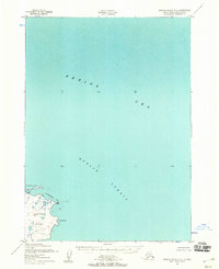
1952 · Nunivak Island B-2
USGS Topo · 1:63,360

1954 · Nunivak Island
USGS Topo · 1:250,000

1954 · Baird Inlet
USGS Topo · 1:250,000

1954 · Baird Inlet C-8
USGS Topo · 1:63,360

1954 · Baird Inlet B-8
USGS Topo · 1:63,360

1954 · Nunivak Island C-1
USGS Topo · 1:63,360

1958 · Nunivak Island
USGS Topo · 1:250,000