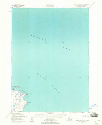
1952 Map of Nunivak Island B-2
USGS Topo · Published 1958About this map
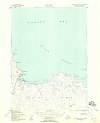
Nunivak Island emerges from the Bering Sea in this mid-century coastal survey, showing the northeastern reaches of the Nunivak National Wildlife Refuge. The map details the rugged shoreline where Etolin Strait meets the land at Ikathleewimjingia Pt and Cape Manning. This area is characterized by its isolation and maritime geography, including the sheltered waters of Ikathleewik Bay.
Find a feature on this map
8 named features on this map. Tap any name to fly to it.
Don’t see what you’re looking for? This feature index may not catch every label — zoom into the map to look around manually.
Map Details
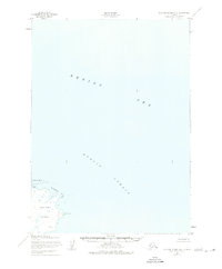
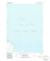
Editions of this 1952 Nunivak Island B-2 Map
3 editions found
Other maps of this area

1951 · Nunivak Island
USGS Topo · 1:250,000

1952 · Nunivak Island A-3
USGS Topo · 1:63,360
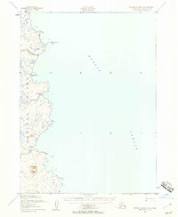
1952 · Nunivak Island A-2
USGS Topo · 1:63,360
1952 · Nunivak Island B-3
USGS Topo · 1:63,360

1954 · Nunivak Island
USGS Topo · 1:250,000

1954 · Nunivak Island B-1
USGS Topo · 1:63,360

1954 · Nunivak Island C-1
USGS Topo · 1:63,360

1958 · Nunivak Island
USGS Topo · 1:250,000

1964 · Nunivak Island
USGS Topo · 1:250,000
2020 · Nunivak Island B-3 SE
USGS Topo · 1:25,000