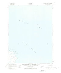
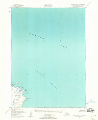
1952 Map of Nunivak Island B-2
USGS Topo · Published 1975About this map
Nunivak Island and the waters of the Etolin Strait dominate this mid-century coastal survey. Portraying the eastern edge of the island within the Nunivak National Wildlife Refuge, the map reveals a coastline defined by shallow inlets and significant mud and boulder foreshore areas, as seen at Ikathleewik Bay. The terrain here is largely unsurveyed in the interior, reflecting the isolation of this corner of the Bering Sea during the early 1950s.
Find a feature on this map
7 named features on this map. Tap any name to fly to it.
Don’t see what you’re looking for? This feature index may not catch every label — zoom into the map to look around manually.
Map Details
Editions of this 1952 Nunivak Island B-2 Map
3 editions found
Other maps of this area

1951 · Nunivak Island
USGS Topo · 1:250,000

1952 · Nunivak Island A-3
USGS Topo · 1:63,360
1952 · Nunivak Island A-2
USGS Topo · 1:63,360
1952 · Nunivak Island B-3
USGS Topo · 1:63,360
1952 · Nunivak Island B-2
USGS Topo · 1:63,360

1954 · Nunivak Island
USGS Topo · 1:250,000

1954 · Nunivak Island B-1
USGS Topo · 1:63,360

1954 · Nunivak Island C-1
USGS Topo · 1:63,360

1958 · Nunivak Island
USGS Topo · 1:250,000

1964 · Nunivak Island
USGS Topo · 1:250,000