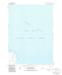
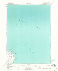
1952 Map of Nunivak Island B-2
USGS Topo · Published 1985About this map
Nunivak Island and the surrounding waters of the Etolin Strait define this remote coastal environment as it was documented in the early 1950s. The map highlights the eastern edge of the island, where the terrain is marked by coastal features like Ikathleewimjingia Pt and Cape Manning. This area is preserved within the Yukon Delta National Wildlife Refuge, reflecting a landscape dominated by natural forces rather than industrial development.
Find a feature on this map
8 named features on this map. Tap any name to fly to it.
Don’t see what you’re looking for? This feature index may not catch every label — zoom into the map to look around manually.
Map Details
Editions of this 1952 Nunivak Island B-2 Map
3 editions found
Other maps of this area

1951 · Nunivak Island
USGS Topo · 1:250,000

1952 · Nunivak Island A-3
USGS Topo · 1:63,360
1952 · Nunivak Island A-2
USGS Topo · 1:63,360
1952 · Nunivak Island B-3
USGS Topo · 1:63,360
1952 · Nunivak Island B-2
USGS Topo · 1:63,360

1954 · Nunivak Island
USGS Topo · 1:250,000

1954 · Nunivak Island B-1
USGS Topo · 1:63,360

1954 · Nunivak Island C-1
USGS Topo · 1:63,360

1958 · Nunivak Island
USGS Topo · 1:250,000

1964 · Nunivak Island
USGS Topo · 1:250,000