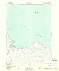
1952 Map of Nunivak Island B-3
USGS Topo · Published 1958About this map
Kuvlomiut and other seasonal settlements line the northern shores of Nunivak Island in the early 1950s, highlighting the enduring indigenous subsistence patterns of the Bering Sea coast. This coastal landscape is defined by the transition from the Etolin Strait to a shoreline of mud, gravel, and scattered boulders. Inland, the hydrology is dominated by the Koweejoonuk River and numerous tundra lakes, while coastal features like Nabakyalik Pt and Kangeekiksatharuk Cove provide natural landmarks for maritime navigation. The mapping, derived from aerial photography by the Army Map Service, captures specific seasonal habitation sites such as Daprakmiut and Kaneetaksmiut, which were often utilized for fishing and marine mammal hunting. These camps, along with the settlement at Kikmiktalikamiut, offer critical spatial data for understanding the traditional land use and geography of this region during the mid-twentieth century.
Find a feature on this map
23 named features on this map. Tap any name to fly to it.
Don’t see what you’re looking for? This feature index may not catch every label — zoom into the map to look around manually.
Map Details
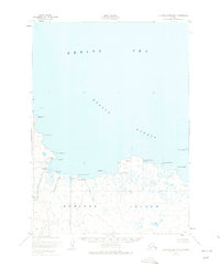
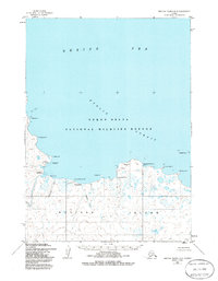
Editions of this 1952 Nunivak Island B-3 Map
3 editions found
Other maps of this area

1951 · Nunivak Island
USGS Topo · 1:250,000

1952 · Nunivak Island A-4
USGS Topo · 1:63,360

1952 · Nunivak Island A-3
USGS Topo · 1:63,360
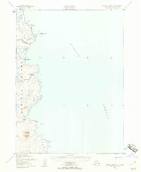
1952 · Nunivak Island A-2
USGS Topo · 1:63,360
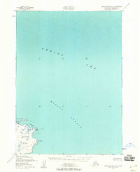
1952 · Nunivak Island B-2
USGS Topo · 1:63,360
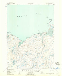
1952 · Nunivak Island B-4
USGS Topo · 1:63,360

1954 · Nunivak Island
USGS Topo · 1:250,000

1958 · Nunivak Island
USGS Topo · 1:250,000

1964 · Nunivak Island
USGS Topo · 1:250,000
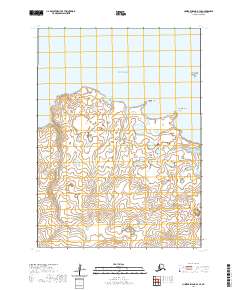
2020 · Nunivak Island B-3 SE
USGS Topo · 1:25,000