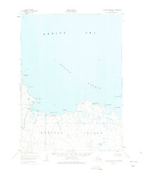
1952 Map of Nunivak Island B-3
USGS Topo · Published 1975About this map
Nunivak Island shorelines along the Etolin Strait are documented here in a series of mid-century surveys that capture the seasonal settlement patterns of the region. The map details several indigenous summer camps, including Kuvlomiut, Daprakmiut, and Kaneetaksmiut, which were situated near coastal points like Kangnaksnak Pt and the mouth of the Kuveejinaguk River. These sites suggest a traditional lifestyle revolving around the resources of the Bering Sea. The entire land area is contained within the Nunivak National Wildlife Refuge, featuring a complex network of coastal features such as Kangeekiksathatuk Cove and Dunulimjingia Pt. Inland, the terrain is defined by small waterways like Valvekalik Creek, illustrating a landscape largely untouched by permanent industrial development during this era.
Find a feature on this map
21 named features on this map. Tap any name to fly to it.
Don’t see what you’re looking for? This feature index may not catch every label — zoom into the map to look around manually.
Map Details
Editions of this 1952 Nunivak Island B-3 Map
3 editions found
Other maps of this area

1951 · Nunivak Island
USGS Topo · 1:250,000

1952 · Nunivak Island A-4
USGS Topo · 1:63,360

1952 · Nunivak Island A-3
USGS Topo · 1:63,360
1952 · Nunivak Island A-2
USGS Topo · 1:63,360
1952 · Nunivak Island B-3
USGS Topo · 1:63,360
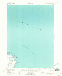
1952 · Nunivak Island B-2
USGS Topo · 1:63,360
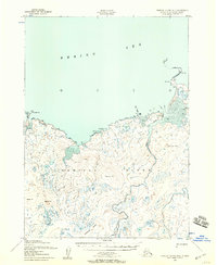
1952 · Nunivak Island B-4
USGS Topo · 1:63,360

1954 · Nunivak Island
USGS Topo · 1:250,000

1958 · Nunivak Island
USGS Topo · 1:250,000

1964 · Nunivak Island
USGS Topo · 1:250,000