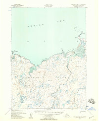
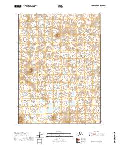
1952 Map of Nunivak Island B-4
USGS Topo · Published 1958About this map
Mekoryuk sits at the northeastern edge of this mid-century survey, serving as a primary settlement on the northern coast of Nunivak Island. The landscape is defined by the volcanic topography of the Nunivak National Wildlife Refuge, where the Ingrijoak Hills and Kimikthak Hills rise above a complex network of tundra lakes and streams. Along the coast, the Mekoryuk River flows toward Cape Etolin, a prominent peninsula marked by seasonal habitation sites like Summer Camp.
Find a feature on this map
21 named features on this map. Tap any name to fly to it.
Don’t see what you’re looking for? This feature index may not catch every label — zoom into the map to look around manually.
Map Details
Editions of this 1952 Nunivak Island B-4 Map
2 editions found
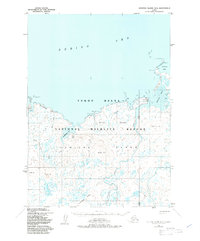
Other maps of this area

1951 · Nunivak Island
USGS Topo · 1:250,000

1952 · Nunivak Island A-4
USGS Topo · 1:63,360

1952 · Nunivak Island A-5
USGS Topo · 1:63,360

1952 · Nunivak Island A-3
USGS Topo · 1:63,360
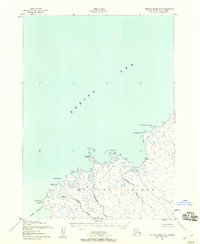
1952 · Nunivak Island B-5
USGS Topo · 1:63,360
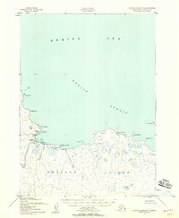
1952 · Nunivak Island B-3
USGS Topo · 1:63,360

1954 · Nunivak Island
USGS Topo · 1:250,000

1958 · Nunivak Island
USGS Topo · 1:250,000

1964 · Nunivak Island
USGS Topo · 1:250,000
2020 · Nunivak Island A-3 NW
USGS Topo · 1:25,000