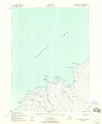
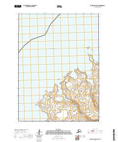
1952 Map of Nunivak Island B-5
USGS Topo · Published 1958About this map
Abaramiut and other seasonal indigenous settlements punctuate the northern coastline of Nunivak Island in this early 1950s survey. These subsistence sites, including Nariksmiut, Kahnirukmiut, and Ahdingmiut, are situated at the mouths of the island's major drainage systems such as the Kahniruk River and Ahding River. The map meticulously records the treacherous maritime geography of the Bering Sea coast, detailing hazards like Kikiktalik Rock and the complex shoreline around Nash Harbor.
Find a feature on this map
17 named features on this map. Tap any name to fly to it.
Don’t see what you’re looking for? This feature index may not catch every label — zoom into the map to look around manually.
Map Details
Editions of this 1952 Nunivak Island B-5 Map
2 editions found
Other maps of this area

1951 · Nunivak Island
USGS Topo · 1:250,000

1952 · Nunivak Island A-4
USGS Topo · 1:63,360

1952 · Nunivak Island A-6
USGS Topo · 1:63,360

1952 · Nunivak Island A-5
USGS Topo · 1:63,360
1952 · Nunivak Island B-4
USGS Topo · 1:63,360

1954 · Nunivak Island
USGS Topo · 1:250,000

1958 · Nunivak Island
USGS Topo · 1:250,000

1964 · Nunivak Island
USGS Topo · 1:250,000
2020 · Nunivak Island A-6 NE
USGS Topo · 1:25,000
2020 · Nunivak Island B-5 SW
USGS Topo · 1:25,000