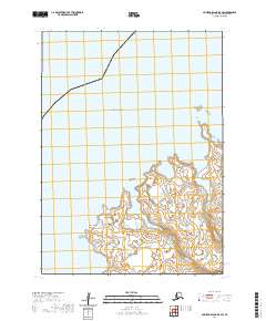
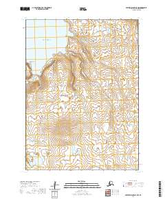
2020 Map of Nunivak Island B-5 SW
USGS Topo · Published 2020About this map
Nash Harbor defines the southwestern coast of this island quadrangle, where the tidal waters meet the southern reaches of the Bering Sea. The shoreline is marked by prominent natural landmarks, including the jagged profile of Kikiktalik Rock and the coastal projection of Chingeeruk Point. Inland, the hydrologic pattern is shaped by the Ahding River and the Nariksmiut River, which flow through the coastal lowlands of the Bethel Census Area. This 2020 survey records the intricate network of wetlands and small ponds that characterize the interior of Nunivak Island, illustrating the delicate interface between freshwater drainage and the saltwater margins of the Alaskan coast.
Find a feature on this map
10 named features on this map. Tap any name to fly to it.
Don’t see what you’re looking for? This feature index may not catch every label — zoom into the map to look around manually.
Map Details
Editions of this 2020 Nunivak Island B-5 SW Map
This is the sole edition of this map. No revisions or reprints were ever made.
Other maps of this area

1951 · Nunivak Island
USGS Topo · 1:250,000

1952 · Nunivak Island A-6
USGS Topo · 1:63,360

1952 · Nunivak Island A-5
USGS Topo · 1:63,360
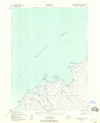
1952 · Nunivak Island B-5
USGS Topo · 1:63,360

1954 · Nunivak Island
USGS Topo · 1:250,000

1958 · Nunivak Island
USGS Topo · 1:250,000

1964 · Nunivak Island
USGS Topo · 1:250,000
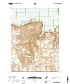
2020 · Nunivak Island A-6 NE
USGS Topo · 1:25,000
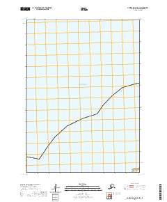
2020 · Nunivak Island B-5 NE
USGS Topo · 1:25,000
2020 · Nunivak Island A-5 NW
USGS Topo · 1:25,000