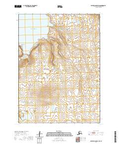
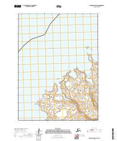
2020 Map of Nunivak Island A-5 NW
USGS Topo · Published 2020About this map
Nash Harbor and the surrounding coastline of the Bering Sea define the northwestern edge of this remote Alaskan landscape. The topography is marked by significant coastal features such as the prominent Ahkolikotak Head and protected waters within Dachikjowaruk Cove and Dachirowruk Cove. Inland, the terrain is shaped by a network of drainages including Bimahyook Creek and Dadinowiki Creek, which carve through the elevations of the Nunivak Island interior. This 2020 survey illustrates the intersection of maritime and terrestrial environments, documenting the precise flow of smaller tributaries like Antingmiut Cr as they move toward the sea. The map provides a high-resolution view of the uninhabited shoreline and natural drainage patterns essential for navigating this portion of the Bethel Census Area.
Find a feature on this map
15 named features on this map. Tap any name to fly to it.
Don’t see what you’re looking for? This feature index may not catch every label — zoom into the map to look around manually.
Map Details
Editions of this 2020 Nunivak Island A-5 NW Map
This is the sole edition of this map. No revisions or reprints were ever made.
Other maps of this area

1951 · Nunivak Island
USGS Topo · 1:250,000

1952 · Nunivak Island A-6
USGS Topo · 1:63,360

1952 · Nunivak Island A-5
USGS Topo · 1:63,360
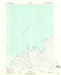
1952 · Nunivak Island B-5
USGS Topo · 1:63,360

1954 · Nunivak Island
USGS Topo · 1:250,000

1958 · Nunivak Island
USGS Topo · 1:250,000

1964 · Nunivak Island
USGS Topo · 1:250,000
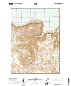
2020 · Nunivak Island A-6 NE
USGS Topo · 1:25,000
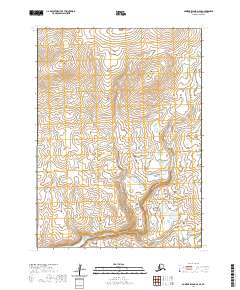
2020 · Nunivak Island A-6 SE
USGS Topo · 1:25,000
2020 · Nunivak Island B-5 SW
USGS Topo · 1:25,000