
1952 Map of Nunivak Island A-6
USGS Topo · Published 1958About this map
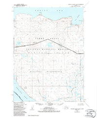
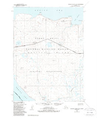
Nunivak Island coastal life centers on seasonal activity and subsistence during the early 1950s, as shown by the labeling of Kigoumiut and Dahloongamiut along the Bering Sea shoreline. This coastal landscape is defined by dramatic bluffs and points, including Iloodak Pt, Koweelik Bluff, and Binakslit Bluff, which give way to an interior of isolated high points like Seemalik Butte and Kimiksthek Hill.
Find a feature on this map
28 named features on this map. Tap any name to fly to it.
Don’t see what you’re looking for? This feature index may not catch every label — zoom into the map to look around manually.
Map Details
Editions of this 1952 Nunivak Island A-6 Map
3 editions found
Other maps of this area

1951 · Cape Mendenhall
USGS Topo · 1:250,000

1951 · Nunivak Island
USGS Topo · 1:250,000

1952 · Nunivak Island A-7
USGS Topo · 1:63,360

1952 · Cape Mendenhall
USGS Topo · 1:250,000

1952 · Cape Mendenhall D-6
USGS Topo · 1:63,360

1952 · Nunivak Island A-5
USGS Topo · 1:63,360
1952 · Nunivak Island B-5
USGS Topo · 1:63,360
1952 · Cape Mendenhall D-5
USGS Topo · 1:63,360

1954 · Nunivak Island
USGS Topo · 1:250,000

1958 · Nunivak Island
USGS Topo · 1:250,000