
1952 Map of Nunivak Island A-7
USGS Topo · Published 1958About this map
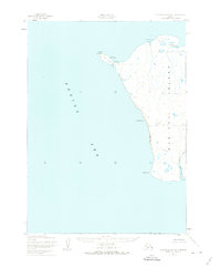
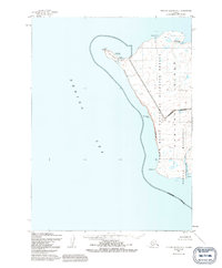
Cape Mohican defines the westernmost reach of Nunivak Island in this early 1950s survey of the Bering Sea coastline. The landscape is characterized by seasonal Indigenous land use, marked by the presence of summer camps such as Ikooksmiut and Mikisagimiut near the northern shore. These sites reflect a traditional subsistence pattern, positioned near coastal resources like Ikookstakswak Cove and the Sand and Boulder Beach.
Find a feature on this map
17 named features on this map. Tap any name to fly to it.
Don’t see what you’re looking for? This feature index may not catch every label — zoom into the map to look around manually.
Map Details
Editions of this 1952 Nunivak Island A-7 Map
3 editions found
Other maps of this area

1951 · Cape Mendenhall
USGS Topo · 1:250,000

1951 · Nunivak Island
USGS Topo · 1:250,000

1952 · Cape Mendenhall
USGS Topo · 1:250,000

1952 · Cape Mendenhall D-6
USGS Topo · 1:63,360

1952 · Nunivak Island A-6
USGS Topo · 1:63,360

1954 · Nunivak Island
USGS Topo · 1:250,000

1958 · Nunivak Island
USGS Topo · 1:250,000

1964 · Nunivak Island
USGS Topo · 1:250,000
2020 · Cape Mendenhall D-6 NW
USGS Topo · 1:25,000
2020 · Nunivak Island A-6 NW
USGS Topo · 1:25,000