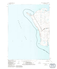
1952 Map of Nunivak Island A-7
USGS Topo · Published 1991About this map
Cape Mohican defines the westernmost reach of this coastal landscape, where the land meets the Bering Sea in a series of dramatic geographic features. The coastal geography is marked by Binaksbak Bluff and the isolated Nabangoyak Rock, leading toward the southern reaches of Datheekook Pt. This 1952 record shows a region preserved within the Yukon Delta National Wildlife Refuge, focusing on the seasonal patterns of the island's inhabitants.
Find a feature on this map
16 named features on this map. Tap any name to fly to it.
Don’t see what you’re looking for? This feature index may not catch every label — zoom into the map to look around manually.
Map Details
Editions of this 1952 Nunivak Island A-7 Map
3 editions found
Other maps of this area

1951 · Cape Mendenhall
USGS Topo · 1:250,000

1951 · Nunivak Island
USGS Topo · 1:250,000

1952 · Nunivak Island A-7
USGS Topo · 1:63,360

1952 · Cape Mendenhall
USGS Topo · 1:250,000

1952 · Cape Mendenhall D-6
USGS Topo · 1:63,360

1952 · Nunivak Island A-6
USGS Topo · 1:63,360

1954 · Nunivak Island
USGS Topo · 1:250,000

1958 · Nunivak Island
USGS Topo · 1:250,000

1964 · Nunivak Island
USGS Topo · 1:250,000
2020 · Cape Mendenhall D-6 NW
USGS Topo · 1:25,000