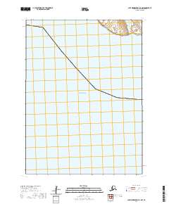
2020 Map of Cape Mendenhall D-6 NW
USGS Topo · Published 2020About this map
Barabaras sits along the northern coast of Nunivak Island, appearing as a focal point of settlement in this 2020 topographic survey of the Bethel Census Area. The landscape is defined by the transition between the coastal tundra and the vast reaches of the Bering Sea. The Dahloongamiut River meanders toward the coast, providing a vital freshwater artery in this remote Alaskan environment. This map detail captures the geographic relationship between the seasonal or traditional sites and the surrounding waterways. The absence of modern infrastructure like highways or large industrial developments suggests a region where traditional land use and natural coastal processes remain primary. Researchers of Alaskan geography and indigenous land patterns can trace the precise positioning of Barabaras relative to the river mouth and the sea, offering a snapshot of this specific corner of the Bethel Census Area in the early 21st century.
Find a feature on this map
5 named features on this map. Tap any name to fly to it.
Don’t see what you’re looking for? This feature index may not catch every label — zoom into the map to look around manually.
Map Details
Editions of this 2020 Cape Mendenhall D-6 NW Map
This is the sole edition of this map. No revisions or reprints were ever made.
Other maps of this area

1951 · Cape Mendenhall
USGS Topo · 1:250,000

1951 · Nunivak Island
USGS Topo · 1:250,000

1952 · Nunivak Island A-7
USGS Topo · 1:63,360

1952 · Cape Mendenhall
USGS Topo · 1:250,000

1952 · Cape Mendenhall D-6
USGS Topo · 1:63,360

1952 · Nunivak Island A-6
USGS Topo · 1:63,360

1954 · Nunivak Island
USGS Topo · 1:250,000

1958 · Nunivak Island
USGS Topo · 1:250,000

1964 · Nunivak Island
USGS Topo · 1:250,000
2020 · Nunivak Island A-6 SE
USGS Topo · 1:25,000