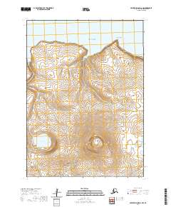
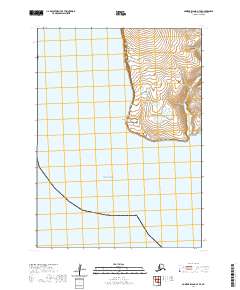
2020 Map of Nunivak Island A-6 NW
USGS Topo · Published 2020About this map
Nunivak Island topography dominates this 2020 survey of the island's northwestern coastline, where the volcanic interior meets the Bering Sea. The landscape is defined by the prominent Seemalik Butte, a volcanic feature rising above a network of tundra waterways. To the west, the Ahlik River and Lukluksukwik Lake drain the low-lying plains, while the eastern section is marked by the Dahloongumit River. Along the northern shore, coastal features like Iloodak Point and the steep Koweelik Bluff provide distinct maritime landmarks. This map captures the island's natural drainage patterns and landforms in the early 21st century, illustrating the transition from coastal bluffs to the interior volcanic buttes of the Bethel Census Area.
Find a feature on this map
13 named features on this map. Tap any name to fly to it.
Don’t see what you’re looking for? This feature index may not catch every label — zoom into the map to look around manually.
Map Details
Editions of this 2020 Nunivak Island A-6 NW Map
This is the sole edition of this map. No revisions or reprints were ever made.
Other maps of this area

1951 · Nunivak Island
USGS Topo · 1:250,000

1952 · Nunivak Island A-7
USGS Topo · 1:63,360

1952 · Nunivak Island A-6
USGS Topo · 1:63,360

1954 · Nunivak Island
USGS Topo · 1:250,000

1958 · Nunivak Island
USGS Topo · 1:250,000

1964 · Nunivak Island
USGS Topo · 1:250,000
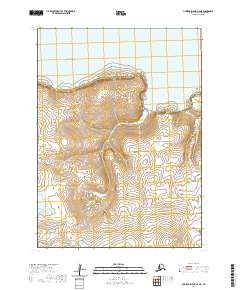
2020 · Nunivak Island A-6 NE
USGS Topo · 1:25,000
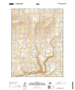
2020 · Nunivak Island A-6 SE
USGS Topo · 1:25,000
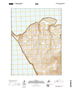
2020 · Nunivak Island A-7 NE
USGS Topo · 1:25,000
2020 · Nunivak Island A-7 SE
USGS Topo · 1:25,000