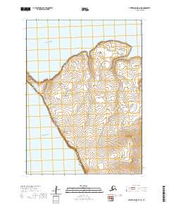
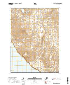
2020 Map of Nunivak Island A-7 NE
USGS Topo · Published 2020About this map
Nunivak Island meets the Bering Sea along this northwestern edge of the island, where the land terminates at the prominent Cape Mohican. This 2020 survey illustrates a coastline defined by severe elevation changes and coastal landforms, including the sheltered waters of Ikonkstakwak Cove to the north and the offshore landmark of Ibangoyak Rock to the south. The interior is characterized by numerous small upland ponds and a complex system of contours that indicate the volcanic origins of the island terrain. The lack of roads or established settlements on this portion of the island emphasizes its role as a landscape primarily governed by natural processes and maritime influence.
Find a feature on this map
8 named features on this map. Tap any name to fly to it.
Don’t see what you’re looking for? This feature index may not catch every label — zoom into the map to look around manually.
Map Details
Editions of this 2020 Nunivak Island A-7 NE Map
This is the sole edition of this map. No revisions or reprints were ever made.
Other maps of this area

1951 · Nunivak Island
USGS Topo · 1:250,000

1952 · Nunivak Island A-7
USGS Topo · 1:63,360

1952 · Nunivak Island A-6
USGS Topo · 1:63,360

1954 · Nunivak Island
USGS Topo · 1:250,000

1958 · Nunivak Island
USGS Topo · 1:250,000

1964 · Nunivak Island
USGS Topo · 1:250,000
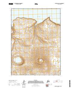
2020 · Nunivak Island A-6 NW
USGS Topo · 1:25,000
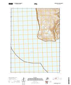
2020 · Nunivak Island A-7 SE
USGS Topo · 1:25,000
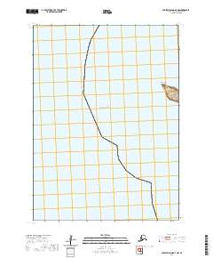
2020 · Nunivak Island A-7 NW
USGS Topo · 1:25,000
2020 · Nunivak Island A-6 SW
USGS Topo · 1:25,000