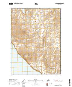
2020 Map of Nunivak Island A-6 SW
USGS Topo · Published 2020About this map
Nunivak Island is defined by its maritime isolation and unpopulated volcanic terrain in this modern survey. The landscape of the southwest coast features the prominent coastal heights of Ingri Butte and the inland elevation of Ingriruk Hill, which rise above a network of tundra drainage systems. Water courses like the Dahloongamiut River and the Ikooksook River meander through the island's interior before reaching the Bering Sea. This map details a wilderness area where the topography remains largely untouched by development, focusing instead on the natural hydrology and elevation markers that characterize the southwestern portion of the island.
Find a feature on this map
10 named features on this map. Tap any name to fly to it.
Don’t see what you’re looking for? This feature index may not catch every label — zoom into the map to look around manually.
Map Details
Editions of this 2020 Nunivak Island A-6 SW Map
This is the sole edition of this map. No revisions or reprints were ever made.
Other maps of this area

1951 · Cape Mendenhall
USGS Topo · 1:250,000

1951 · Nunivak Island
USGS Topo · 1:250,000

1952 · Nunivak Island A-7
USGS Topo · 1:63,360

1952 · Cape Mendenhall
USGS Topo · 1:250,000

1952 · Cape Mendenhall D-6
USGS Topo · 1:63,360

1952 · Nunivak Island A-6
USGS Topo · 1:63,360

1954 · Nunivak Island
USGS Topo · 1:250,000

1958 · Nunivak Island
USGS Topo · 1:250,000

1964 · Nunivak Island
USGS Topo · 1:250,000
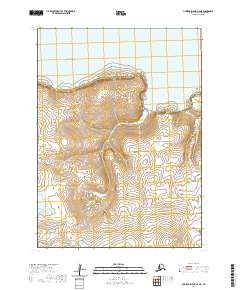
2020 · Nunivak Island A-6 NE
USGS Topo · 1:25,000