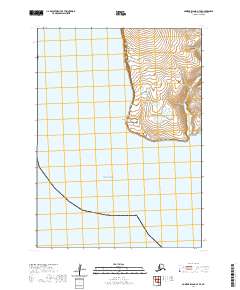
2020 Map of Nunivak Island A-7 SE
USGS Topo · Published 2020About this map
Nunivak Island meets the eastern reaches of the Bering Sea in this 2020 topographic record of the Alaska coast. The landscape is defined by its dramatic maritime interface, most notably at the sharp rise of Binaksbak Bluff and the protruding landform of Datheekook Point. This coastal quadrangle reveals a terrain where the high plateaus of the island interior drop toward the shoreline, providing a clear view of the natural topography before it descends to the water. The only significant drainage in the eastern sector is the Dooksook River, which winds through the interior highlands. This survey documents the physical geography of this isolated island setting, capturing the precise contours of the bluffs and the tidal interface of the Bering Sea.
Find a feature on this map
6 named features on this map. Tap any name to fly to it.
Don’t see what you’re looking for? This feature index may not catch every label — zoom into the map to look around manually.
Map Details
Editions of this 2020 Nunivak Island A-7 SE Map
This is the sole edition of this map. No revisions or reprints were ever made.
Other maps of this area

1951 · Cape Mendenhall
USGS Topo · 1:250,000

1951 · Nunivak Island
USGS Topo · 1:250,000

1952 · Nunivak Island A-7
USGS Topo · 1:63,360

1952 · Cape Mendenhall
USGS Topo · 1:250,000

1952 · Cape Mendenhall D-6
USGS Topo · 1:63,360

1952 · Nunivak Island A-6
USGS Topo · 1:63,360

1954 · Nunivak Island
USGS Topo · 1:250,000

1958 · Nunivak Island
USGS Topo · 1:250,000

1964 · Nunivak Island
USGS Topo · 1:250,000
2020 · Cape Mendenhall D-6 NW
USGS Topo · 1:25,000