
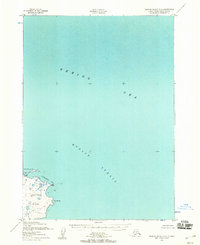
1952 Map of Nunivak Island A-3
USGS Topo · Published 1958About this map
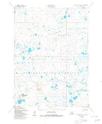
Nanwaksjiak Crater and the surrounding volcanic terrain dominate the southwestern portion of Nunivak Island in the early 1950s. This survey, compiled from aerial photography, details a landscape defined by thousands of small lakes and ponds interspersed with significant geological features like the Lava Bed. The Kalikaneethnook River snakes across the northern portion of the quadrangle, draining through a low-lying tundra environment.
Find a feature on this map
7 named features on this map. Tap any name to fly to it.
Don’t see what you’re looking for? This feature index may not catch every label — zoom into the map to look around manually.
Map Details
Editions of this 1952 Nunivak Island A-3 Map
2 editions found
Other maps of this area

1951 · Cape Mendenhall
USGS Topo · 1:250,000

1951 · Nunivak Island
USGS Topo · 1:250,000

1952 · Cape Mendenhall D-4
USGS Topo · 1:63,360

1952 · Cape Mendenhall D-3
USGS Topo · 1:63,360

1952 · Nunivak Island A-4
USGS Topo · 1:63,360

1952 · Cape Mendenhall
USGS Topo · 1:250,000
1952 · Cape Mendenhall D-2
USGS Topo · 1:63,360
1952 · Nunivak Island A-2
USGS Topo · 1:63,360
1952 · Nunivak Island B-3
USGS Topo · 1:63,360
1952 · Nunivak Island B-2
USGS Topo · 1:63,360