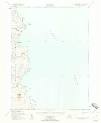
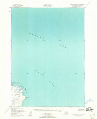
1952 Map of Nunivak Island A-2
USGS Topo · Published 1958About this map
Nunivak Island's eastern coastline meets the Etolin Strait in this early 1950s survey, illustrating a landscape defined by traditional Indigenous habitation patterns. The map identifies several ancestral locations, including Kanikyakstalikmiut, Ahmikdoligamiut, and Ingrimlut, providing a record of cultural sites within the Nunivak National Wildlife Refuge. The terrain is characterized by low-lying tundra and volcanic features like Twin Mountain, with numerous small water bodies and the winding Kalliksneethnook R emptying into the strait. Just offshore, Nooravloaksmiut Island sits amidst foul ground and reefs, highlighting the navigational challenges of these Bering Sea waters during the mid-century era. This documentation was compiled from aerial photography taken by the Army Map Service before field checks were completed.
Find a feature on this map
9 named features on this map. Tap any name to fly to it.
Don’t see what you’re looking for? This feature index may not catch every label — zoom into the map to look around manually.
Map Details
Editions of this 1952 Nunivak Island A-2 Map
2 editions found
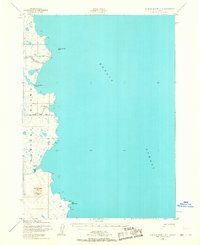
Other maps of this area

1951 · Cape Mendenhall
USGS Topo · 1:250,000

1951 · Nunivak Island
USGS Topo · 1:250,000

1952 · Cape Mendenhall D-3
USGS Topo · 1:63,360

1952 · Cape Mendenhall
USGS Topo · 1:250,000
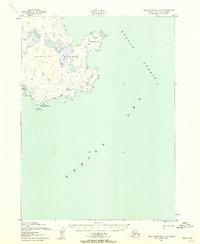
1952 · Cape Mendenhall D-2
USGS Topo · 1:63,360

1952 · Nunivak Island A-3
USGS Topo · 1:63,360
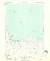
1952 · Nunivak Island B-3
USGS Topo · 1:63,360
1952 · Nunivak Island B-2
USGS Topo · 1:63,360

1954 · Nunivak Island
USGS Topo · 1:250,000

1954 · Nunivak Island B-1
USGS Topo · 1:63,360