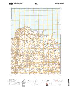
2020 Map of Nunivak Island B-3 SE
USGS Topo · Published 2020About this map
Nunivak Island shorelines meet the Bering Sea in this 2020 topographic survey, revealing a landscape defined by intricate coastal indentations and small offshore features. The northern coast is marked by the prominent reach of Dunulimjingia Point and the sheltered waters of Kangeekiksathluk Cove, while Kikartamjingia Point anchors the eastern coastline. Inland, the map captures a dense network of lakes and marshes that characterize the island's interior drainage, punctuated by low-lying terrain. The isolation of this Bering Sea environment is emphasized by the presence of Triangle Island just offshore, where the survey details the subtle elevation changes of the treeless tundra and coastal wetlands that have supported local subsistence for generations.
Find a feature on this map
10 named features on this map. Tap any name to fly to it.
Don’t see what you’re looking for? This feature index may not catch every label — zoom into the map to look around manually.
Map Details
Editions of this 2020 Nunivak Island B-3 SE Map
This is the sole edition of this map. No revisions or reprints were ever made.
Other maps of this area

1951 · Nunivak Island
USGS Topo · 1:250,000

1952 · Nunivak Island A-3
USGS Topo · 1:63,360
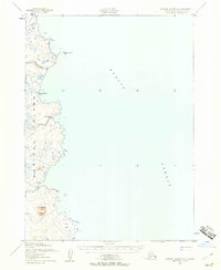
1952 · Nunivak Island A-2
USGS Topo · 1:63,360
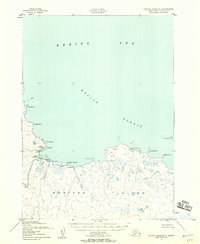
1952 · Nunivak Island B-3
USGS Topo · 1:63,360
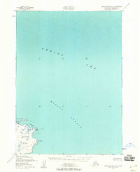
1952 · Nunivak Island B-2
USGS Topo · 1:63,360

1954 · Nunivak Island
USGS Topo · 1:250,000

1958 · Nunivak Island
USGS Topo · 1:250,000

1964 · Nunivak Island
USGS Topo · 1:250,000
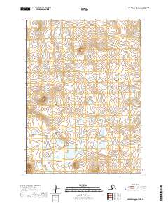
2020 · Nunivak Island A-3 NW
USGS Topo · 1:25,000
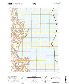
2020 · Nunivak Island A-2 NW
USGS Topo · 1:25,000