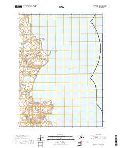
2020 Map of Nunivak Island A-2 NW
USGS Topo · Published 2020About this map
Nooravloaksmiut Island sits as a prominent landform along the western coast of Nunivak Island, separated from the primary shoreline by the waters of the Bering Sea. The coastal geography is defined by the outlet of the Kaliksneethnoo River, which meanders through a low-lying landscape of wetlands and tidal flats. This 2020 map documents a remote stretch of the Bethel Census Area where the land meets the sea in a complex network of shifting shorelines and riverine channels. The area is marked by its isolation, with the survey focusing on the natural hydrography and terrain of the island's coastal periphery. Modern topographic data provides clear detail of the river's path and the distinct separation of the smaller island from the mainland, offering a precise look at this section of the Bering Sea coast.
Find a feature on this map
9 named features on this map. Tap any name to fly to it.
Don’t see what you’re looking for? This feature index may not catch every label — zoom into the map to look around manually.
Map Details
Editions of this 2020 Nunivak Island A-2 NW Map
This is the sole edition of this map. No revisions or reprints were ever made.
Other maps of this area

1951 · Nunivak Island
USGS Topo · 1:250,000

1952 · Nunivak Island A-3
USGS Topo · 1:63,360
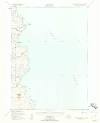
1952 · Nunivak Island A-2
USGS Topo · 1:63,360
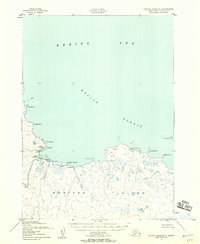
1952 · Nunivak Island B-3
USGS Topo · 1:63,360
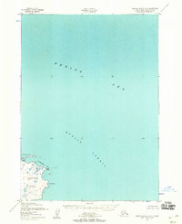
1952 · Nunivak Island B-2
USGS Topo · 1:63,360

1954 · Nunivak Island
USGS Topo · 1:250,000

1958 · Nunivak Island
USGS Topo · 1:250,000

1964 · Nunivak Island
USGS Topo · 1:250,000
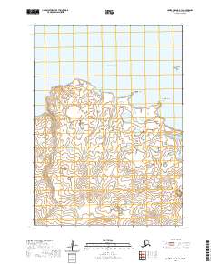
2020 · Nunivak Island B-3 SE
USGS Topo · 1:25,000
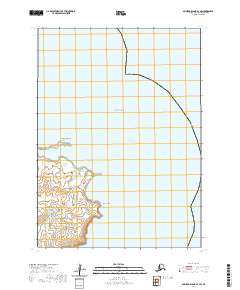
2020 · Nunivak Island B-2 SW
USGS Topo · 1:25,000