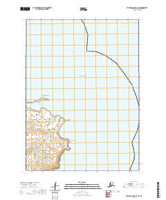
2020 Map of Nunivak Island B-2 SW
USGS Topo · Published 2020About this map
Nunivak Island meets the Bering Sea in this coastal survey, where the landform is defined by distinct volcanic features and jagged shorelines. The map focuses on the eastern reaches of the island, notably at Cape Manning and the prominent headland of Ikathleewimjingia Point. These features frame the waters of Ikathleewik Bay, illustrating the complex maritime geography of the region.
Find a feature on this map
9 named features on this map. Tap any name to fly to it.
Don’t see what you’re looking for? This feature index may not catch every label — zoom into the map to look around manually.
Map Details
Editions of this 2020 Nunivak Island B-2 SW Map
This is the sole edition of this map. No revisions or reprints were ever made.
Other maps of this area

1951 · Nunivak Island
USGS Topo · 1:250,000

1952 · Nunivak Island A-3
USGS Topo · 1:63,360
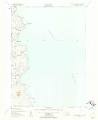
1952 · Nunivak Island A-2
USGS Topo · 1:63,360
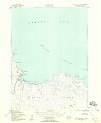
1952 · Nunivak Island B-3
USGS Topo · 1:63,360
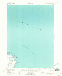
1952 · Nunivak Island B-2
USGS Topo · 1:63,360

1954 · Nunivak Island
USGS Topo · 1:250,000

1958 · Nunivak Island
USGS Topo · 1:250,000

1964 · Nunivak Island
USGS Topo · 1:250,000
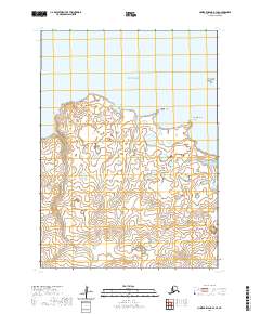
2020 · Nunivak Island B-3 SE
USGS Topo · 1:25,000
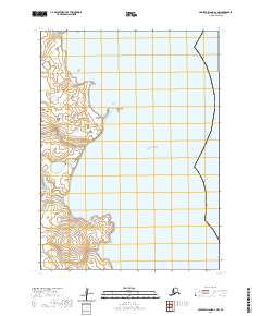
2020 · Nunivak Island A-2 NW
USGS Topo · 1:25,000