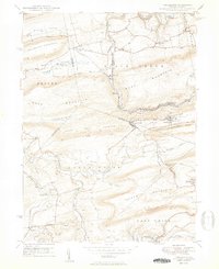
1950 Map of Nuremberg
USGS Topo · Published 1950About this map
Nuremberg and Weston sit at the center of this 1940s-era landscape where the borders of Columbia, Luzerne, and Schuylkill counties converge. The terrain is defined by the high ridges of Beaver Mountain and Buck Mountain, with the Reading railroad winding through the valley corridors. This map reveals a community structured by its deep valleys and watercourses, from the Catawissa Creek to the smaller Raccoon Creek. Local life is anchored by landmarks like the Nuremberg Cem, Mt Zion Ch, and family-named locations such as Millers Corner and Raricks. The geography captured here reflects the early post-war period, documented just as the coal-rich topography of the region began to show the physical impacts of industrial activity like strip mining, as noted in the survey's margin data.
Find a feature on this map
48 named features on this map. Tap any name to fly to it.
Don’t see what you’re looking for? This feature index may not catch every label — zoom into the map to look around manually.
Map Details
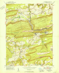
Editions of this 1950 Nuremberg Map
2 editions found
Other maps of this area

1889 · Catawissa
USGS Topo · 1:62,500

1892 · Catawissa
USGS Topo · 1:62,500

1892 · Mahanoy
USGS Topo · 1:62,500

1893 · Mahanoy
USGS Topo · 1:62,500

1894 · Catawissa
USGS Topo · 1:62,500

1894 · Shickshinny
USGS Topo · 1:62,500

1894 · Bloomsburg
USGS Topo · 1:62,500

1946 · Sybertsville
USGS Topo · 1:31,680

1946 · Berwick
USGS Topo · 1:31,680

1947 · Ashland
USGS Topo · 1:24,000
Featured Places
- North Union Township, PA
- Beaver Township, PA
- Black Creek Township, PA
- Fern Glen, Black Creek Township
- Sugarloaf Township, PA