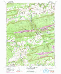
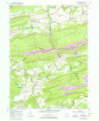
1955 Map of Nuremberg
USGS Topo · Published 1991About this map
Black Creek and the Catawissa Creek carve deep valleys through the ridge-and-valley landscape at the intersection of Luzerne, Columbia, and Schuylkill Counties. The topography here is dominated by the steep rises of Beaver Mountain and Buck Mountain, where industrial activity is evident in the Strip Mine operations near Oneida and Derringer. The area exhibits a classic Pennsylvania coal-country settlement pattern, with small villages like Nuremberg, Gowen, and Fern Glen clustered near the creeks and rail lines.
Find a feature on this map
52 named features on this map. Tap any name to fly to it.
Don’t see what you’re looking for? This feature index may not catch every label — zoom into the map to look around manually.
Map Details
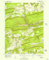
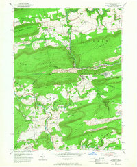
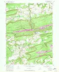
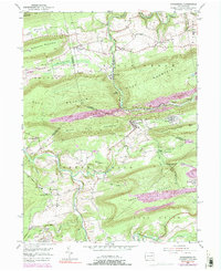
Editions of this 1955 Nuremberg Map
6 editions found
Other maps of this area

1889 · Catawissa
USGS Topo · 1:62,500

1892 · Catawissa
USGS Topo · 1:62,500

1892 · Mahanoy
USGS Topo · 1:62,500

1893 · Mahanoy
USGS Topo · 1:62,500

1894 · Catawissa
USGS Topo · 1:62,500

1894 · Shickshinny
USGS Topo · 1:62,500

1894 · Bloomsburg
USGS Topo · 1:62,500

1946 · Sybertsville
USGS Topo · 1:31,680

1946 · Berwick
USGS Topo · 1:31,680

1947 · Ashland
USGS Topo · 1:24,000
Featured Places
- North Union Township, PA
- Beaver Township, PA
- Black Creek Township, PA
- Fern Glen, Black Creek Township
- Sugarloaf Township, PA