Loading...
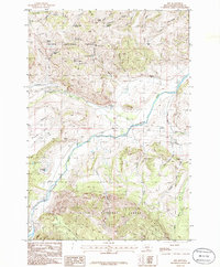
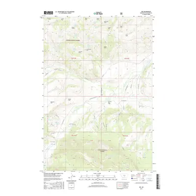
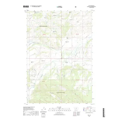
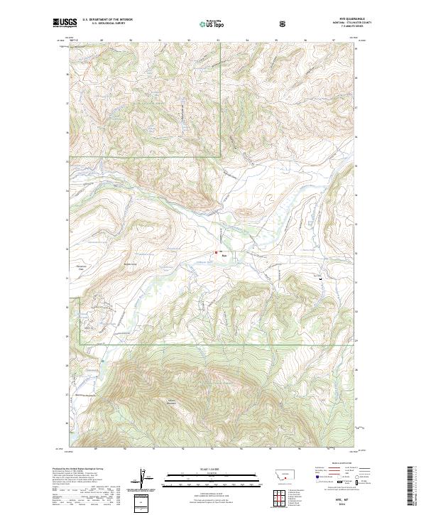
Loading map...1986 Map of Nye
USGS Topo · Published 1986About this map
The Stillwater River carves through this mountain valley where the settlement of Nye serves as a small hub for the surrounding livestock and forest activities. A notable Buffalo Jump near the river bank points to long-standing human activity on this landscape, while the Cem and various corrals suggest a settled ranching history. The terrain is marked by high plateaus like Horseman Flats and several small water bodies including Zeeteman Lake and Horseman Flats Lake.
Find a feature on this map
39 named features on this map. Tap any name to fly to it.
Don’t see what you’re looking for? This feature index may not catch every label — zoom into the map to look around manually.
Map Details
Date Portrayed1986
Date Published1986
PublisherU.S. Geological Survey
Map TypeTopographic
Scale1:24,000
Physical Dimensions22 x 26.5 inches
Editions of this 1986 Nye Map
This is the sole edition of this map. No revisions or reprints were ever made.
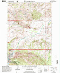
Historical Maps of Nye Through Time
7 maps found
Featured Locations
Source Details
SourceU.S. Geological Survey
CopyrightPublic Domain