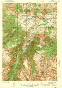
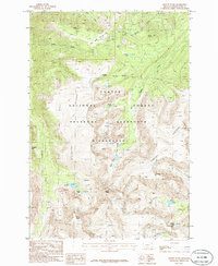
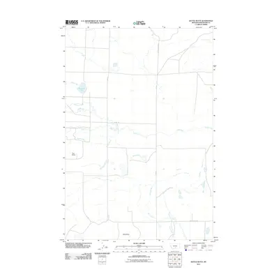
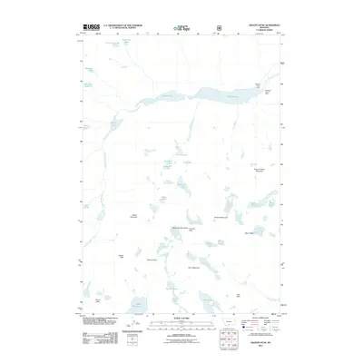
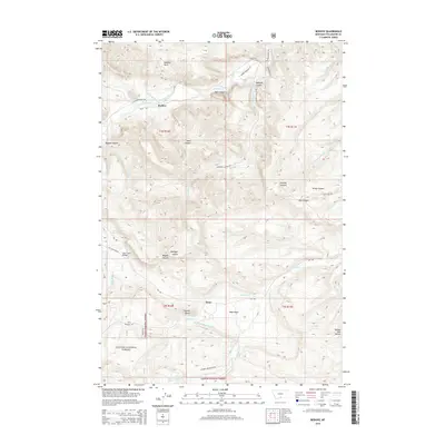
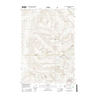
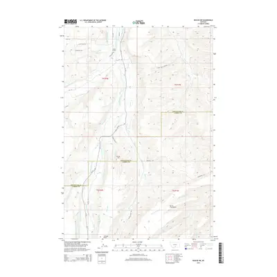
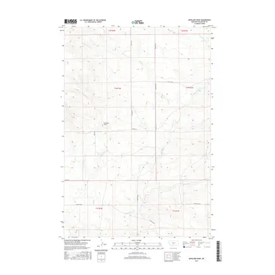
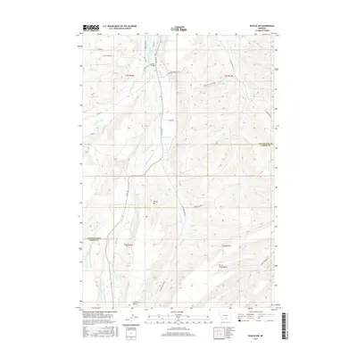
1939 Map of Mt Wood
USGS Topo · Published 1941About this map
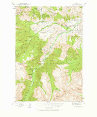
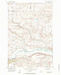
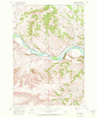
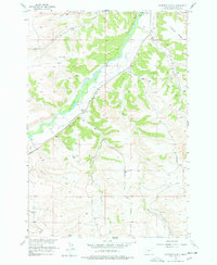
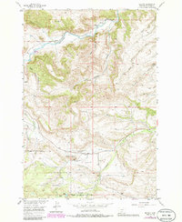
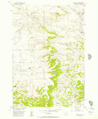
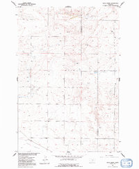
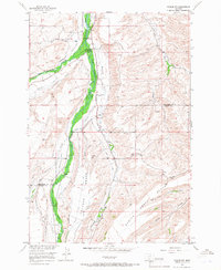
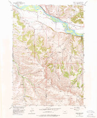
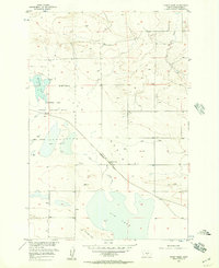
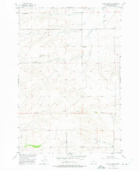
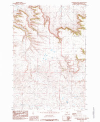
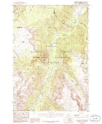
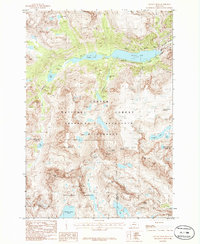
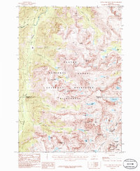
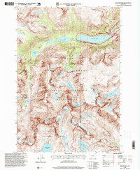
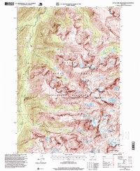
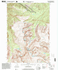
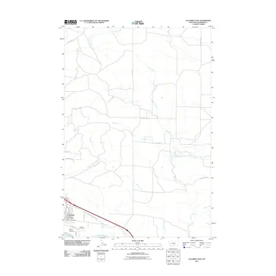
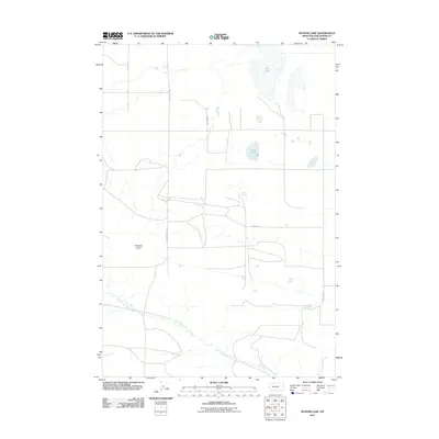
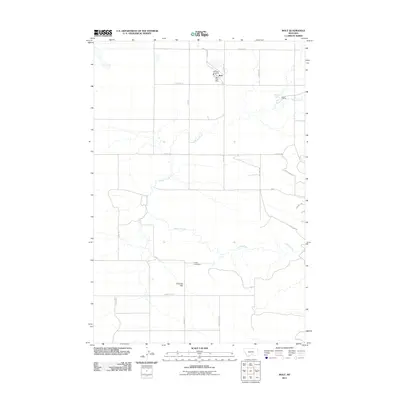
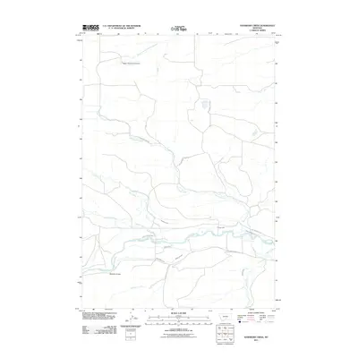
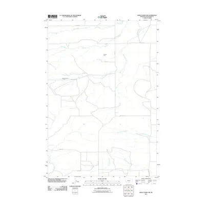
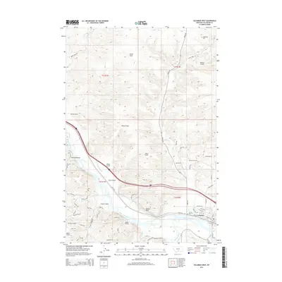
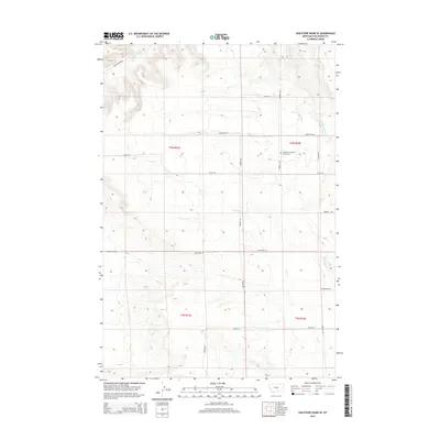
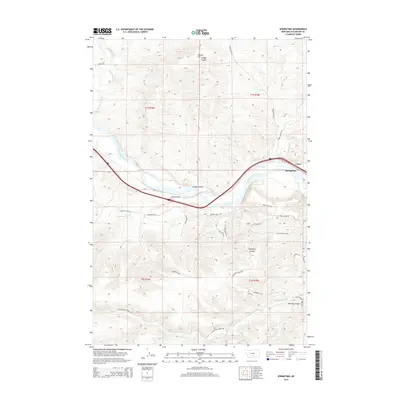
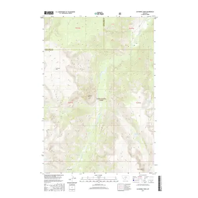
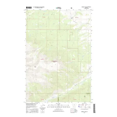
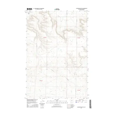
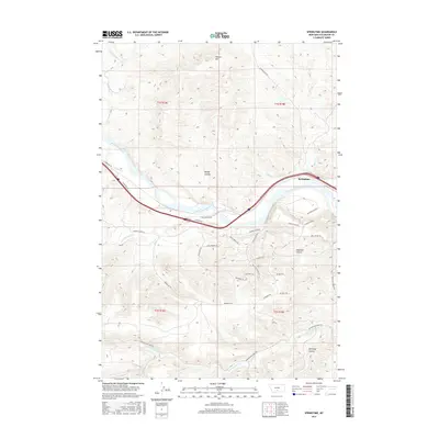
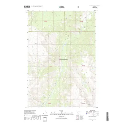
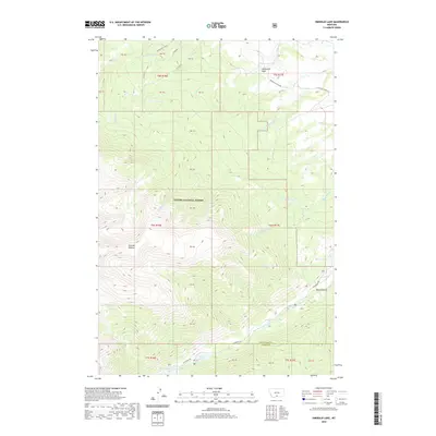
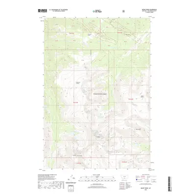
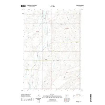
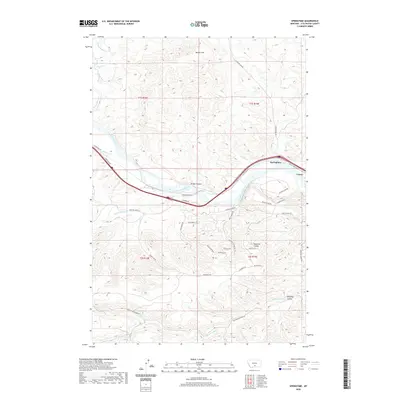
Custer National Forest dominates this 1939 survey, showcasing a landscape of high alpine peaks and deep river valleys where the Stillwater River cuts through the Granite Range. The settlement at Nye serves as a local hub, supported by the Nye Sch and Nye Cem. Economic activity is centered on mineral extraction, evidenced by the Benbow Mine, Mouat Mine, and Tandys Coal Mine scattered across the eastern slopes.
Find a feature on this map
59 named features on this map. Tap any name to fly to it.
Don’t see what you’re looking for? This feature index may not catch every label — zoom into the map to look around manually.
Map Details
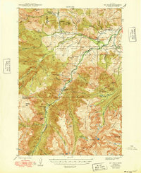
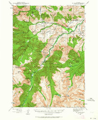
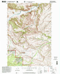
Editions of this 1939 Mt Wood Map
4 editions found
Historical Maps of Meyers Creek Through Time
180 maps found
1892 Stillwater
Stillwater County, MT

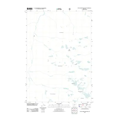
1898 Granite Mountain District
Stillwater County, MT

1932 Nye No 1
Stillwater County, MT

1932 Nye No 2
Stillwater County, MT
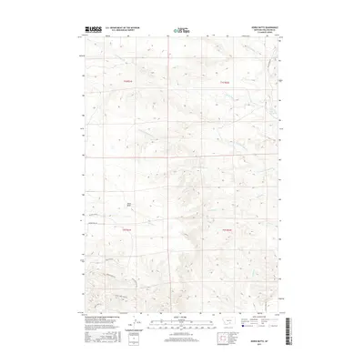
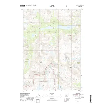
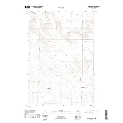
1939 Mt Wood
Stillwater County, MT

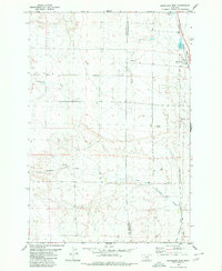
1941 Mt. Wood
Stillwater County, MT
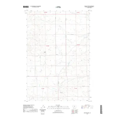
1955 Antelope Point
Stillwater County, MT
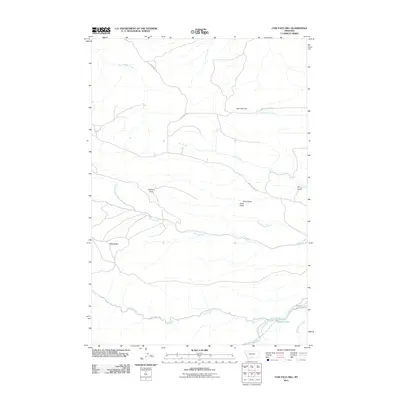
1955 Cow Face Hill
Stillwater County, MT
1955 Russell Gulch
Stillwater County, MT
1955 Sandborn Creek
Stillwater County, MT
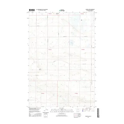
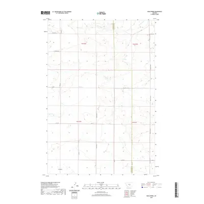
1955 Springtime
Stillwater County, MT
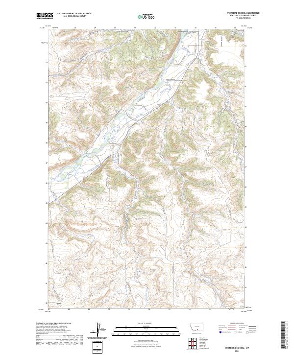
1955 Whitebird School
Stillwater County, MT
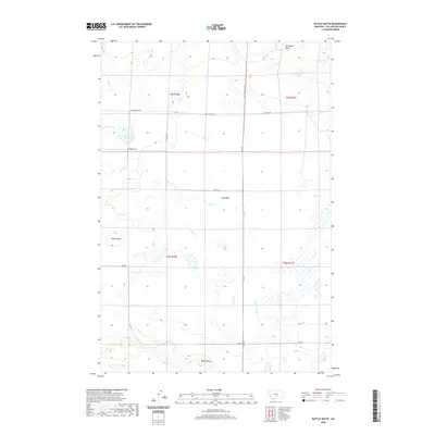
1956 Battle Butte
Stillwater County, MT
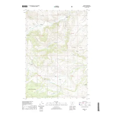
1956 Beehive
Stillwater County, MT
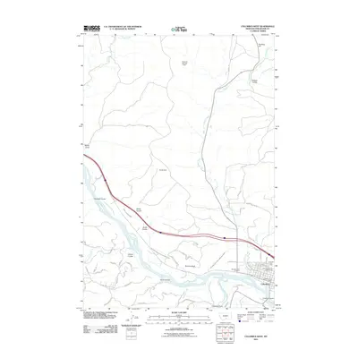
1956 Columbus East
Stillwater County, MT
1956 Columbus West
Stillwater County, MT
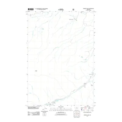
1956 Emerald Lake
Stillwater County, MT
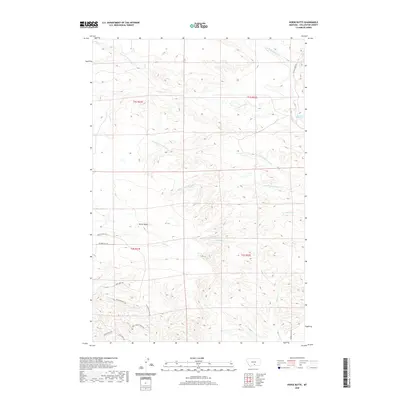
1956 Horse Butte
Stillwater County, MT
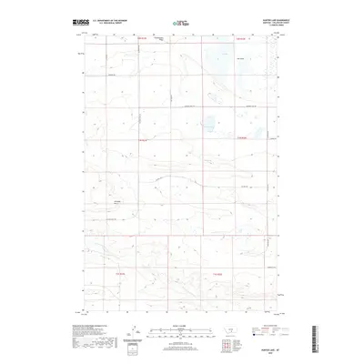
1956 Hunter Lake
Stillwater County, MT
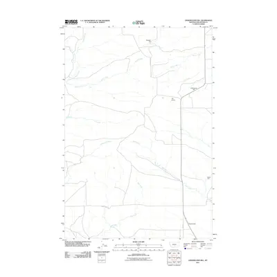
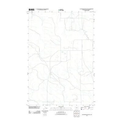
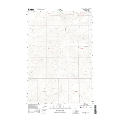
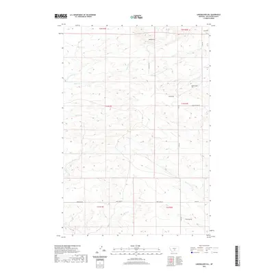
1956 Lindemulder Hill
Stillwater County, MT
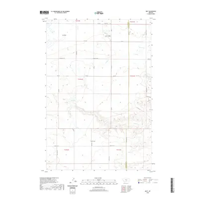
1956 Molt
Stillwater County, MT
1956 Rock Spring
Stillwater County, MT
1956 Roscoe NW
Stillwater County, MT
1956 Shane Ridge
Stillwater County, MT
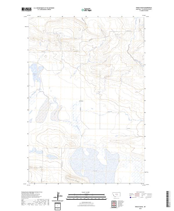
1956 Wheat Basin
Stillwater County, MT
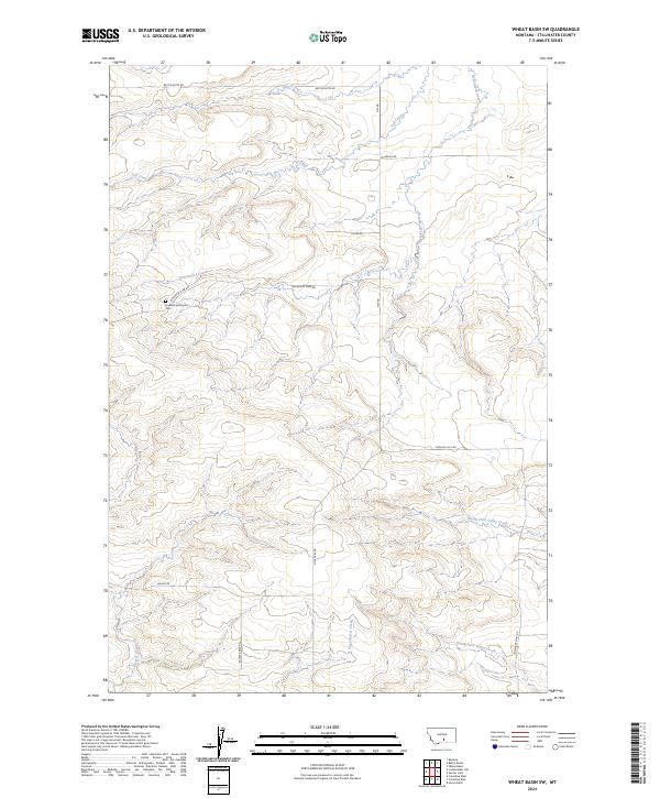
1956 Wheat Basin SW
Stillwater County, MT
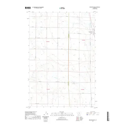
1980 Broadview West
Stillwater County, MT
1985 Hailstone Basin SE
Stillwater County, MT
1985 Hailstone Basin
Stillwater County, MT
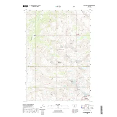
1985 Locomotive Butte SE
Stillwater County, MT
1986 Cathedral Point
Stillwater County, MT
1986 Granite Peak
Stillwater County, MT
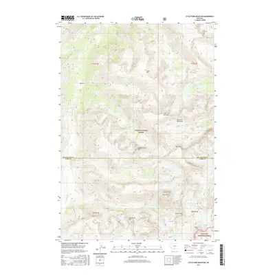
1986 Little Park Mountain
Stillwater County, MT
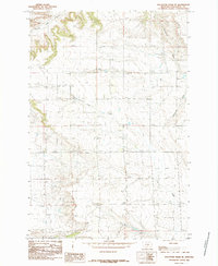
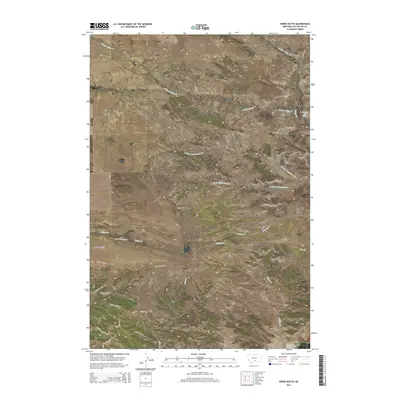
1986 Mount Wood
Stillwater County, MT
1996 Beehive
Stillwater County, MT
1996 Cathedral Point
Stillwater County, MT
1996 Emerald Lake
Stillwater County, MT
1996 Granite Peak
Stillwater County, MT
1996 Little Park Mountain
Stillwater County, MT
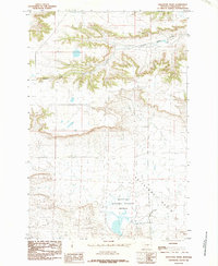
1996 Mount Wood
Stillwater County, MT
2011 Antelope Point
Stillwater County, MT
2011 Battle Butte
Stillwater County, MT
2011 Beehive
Stillwater County, MT
2011 Broadview West
Stillwater County, MT
2011 Cathedral Point
Stillwater County, MT
2011 Columbus East
Stillwater County, MT
2011 Columbus West
Stillwater County, MT
2011 Cow Face Hill
Stillwater County, MT
2011 Emerald Lake
Stillwater County, MT
2011 Granite Peak
Stillwater County, MT
2011 Hailstone Basin SE
Stillwater County, MT
2011 Hailstone Basin
Stillwater County, MT
2011 Horse Butte
Stillwater County, MT
2011 Hunter Lake
Stillwater County, MT
2011 Lindemulder Hill
Stillwater County, MT
2011 Little Park Mountain
Stillwater County, MT
2011 Locomotive Butte SE
Stillwater County, MT
2011 Molt
Stillwater County, MT
2011 Mount Wood
Stillwater County, MT

2011 Rock Spring
Stillwater County, MT
2011 Roscoe NW
Stillwater County, MT
2011 Russell Gulch
Stillwater County, MT
2011 Sandborn Creek
Stillwater County, MT
2011 Shane Ridge
Stillwater County, MT
2011 Springtime
Stillwater County, MT
2011 Wheat Basin
Stillwater County, MT
2011 Wheat Basin SW
Stillwater County, MT
2011 Whitebird School
Stillwater County, MT
2014 Antelope Point
Stillwater County, MT
2014 Battle Butte
Stillwater County, MT
2014 Beehive
Stillwater County, MT
2014 Broadview West
Stillwater County, MT
2014 Cathedral Point
Stillwater County, MT
2014 Columbus East
Stillwater County, MT
2014 Columbus West
Stillwater County, MT
2014 Cow Face Hill
Stillwater County, MT
2014 Emerald Lake
Stillwater County, MT
2014 Granite Peak
Stillwater County, MT
2014 Hailstone Basin SE
Stillwater County, MT

2014 Hailstone Basin
Stillwater County, MT
2014 Horse Butte
Stillwater County, MT
2014 Hunter Lake
Stillwater County, MT
2014 Lindemulder Hill
Stillwater County, MT
2014 Little Park Mountain
Stillwater County, MT

2014 Locomotive Butte SE
Stillwater County, MT
2014 Molt
Stillwater County, MT
2014 Mount Wood
Stillwater County, MT
2014 Rock Spring
Stillwater County, MT
2014 Roscoe NW
Stillwater County, MT
2014 Russell Gulch
Stillwater County, MT
2014 Sandborn Creek
Stillwater County, MT
2014 Shane Ridge
Stillwater County, MT
2014 Springtime
Stillwater County, MT
2014 Wheat Basin
Stillwater County, MT
2014 Wheat Basin SW
Stillwater County, MT
2014 Whitebird School
Stillwater County, MT
2017 Antelope Point
Stillwater County, MT
2017 Battle Butte
Stillwater County, MT
2017 Beehive
Stillwater County, MT
2017 Broadview West
Stillwater County, MT
2017 Cathedral Point
Stillwater County, MT
2017 Columbus East
Stillwater County, MT
2017 Columbus West
Stillwater County, MT
2017 Cow Face Hill
Stillwater County, MT
2017 Emerald Lake
Stillwater County, MT
2017 Granite Peak
Stillwater County, MT
2017 Hailstone Basin SE
Stillwater County, MT
2017 Hailstone Basin
Stillwater County, MT
2017 Horse Butte
Stillwater County, MT
2017 Hunter Lake
Stillwater County, MT
2017 Lindemulder Hill
Stillwater County, MT
2017 Little Park Mountain
Stillwater County, MT
2017 Locomotive Butte SE
Stillwater County, MT
2017 Molt
Stillwater County, MT
2017 Mount Wood
Stillwater County, MT
2017 Rock Spring
Stillwater County, MT
2017 Roscoe NW
Stillwater County, MT
2017 Russell Gulch
Stillwater County, MT
2017 Sandborn Creek
Stillwater County, MT
2017 Shane Ridge
Stillwater County, MT
2017 Springtime
Stillwater County, MT
2017 Wheat Basin
Stillwater County, MT
2017 Wheat Basin SW
Stillwater County, MT
2017 Whitebird School
Stillwater County, MT
2020 Antelope Point
Stillwater County, MT
2020 Battle Butte
Stillwater County, MT
2020 Beehive
Stillwater County, MT
2020 Broadview West
Stillwater County, MT
2020 Cathedral Point
Stillwater County, MT
2020 Columbus East
Stillwater County, MT
2020 Columbus West
Stillwater County, MT
2020 Cow Face Hill
Stillwater County, MT
2020 Emerald Lake
Stillwater County, MT
2020 Granite Peak
Stillwater County, MT
2020 Hailstone Basin SE
Stillwater County, MT
2020 Hailstone Basin
Stillwater County, MT
2020 Horse Butte
Stillwater County, MT
2020 Hunter Lake
Stillwater County, MT
2020 Lindemulder Hill
Stillwater County, MT
2020 Little Park Mountain
Stillwater County, MT
2020 Locomotive Butte SE
Stillwater County, MT
2020 Molt
Stillwater County, MT
2020 Mount Wood
Stillwater County, MT
2020 Rock Spring
Stillwater County, MT
2020 Roscoe NW
Stillwater County, MT
2020 Russell Gulch
Stillwater County, MT
2020 Sandborn Creek
Stillwater County, MT
2020 Shane Ridge
Stillwater County, MT
2020 Springtime
Stillwater County, MT
2020 Wheat Basin
Stillwater County, MT
2020 Wheat Basin SW
Stillwater County, MT
2020 Whitebird School
Stillwater County, MT
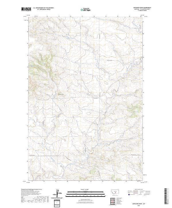
2024 Antelope Point
Stillwater County, MT
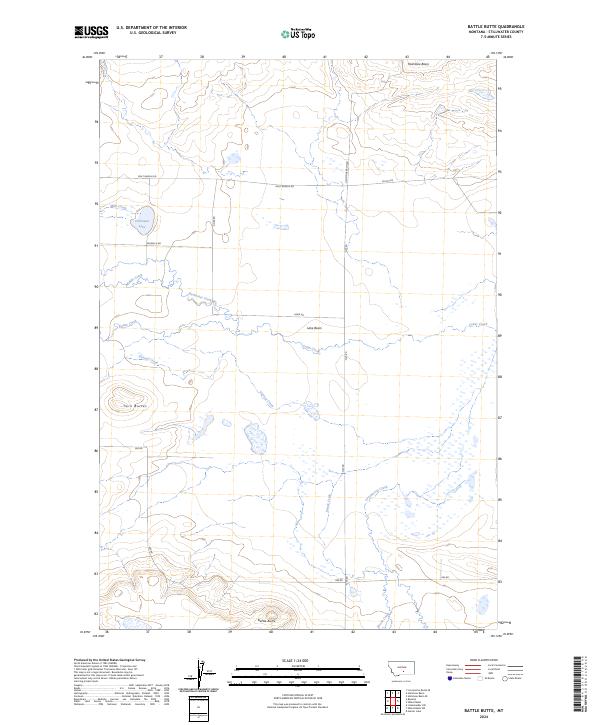
2024 Battle Butte
Stillwater County, MT
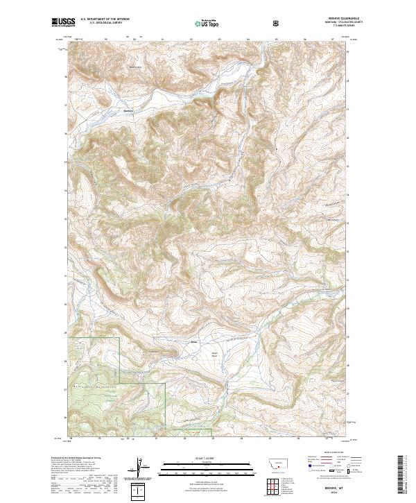
2024 Beehive
Stillwater County, MT
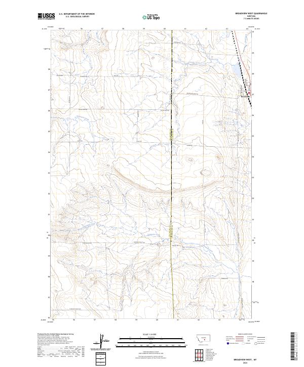
2024 Broadview West
Stillwater County, MT
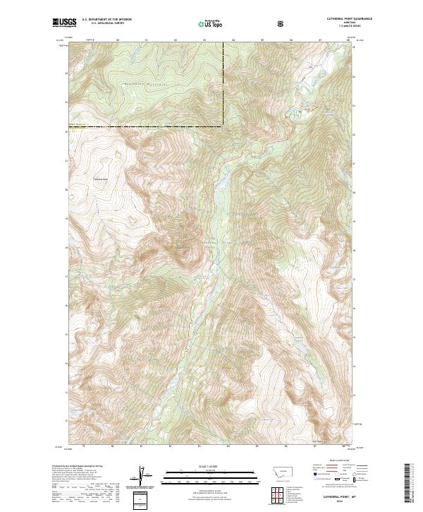
2024 Cathedral Point
Stillwater County, MT
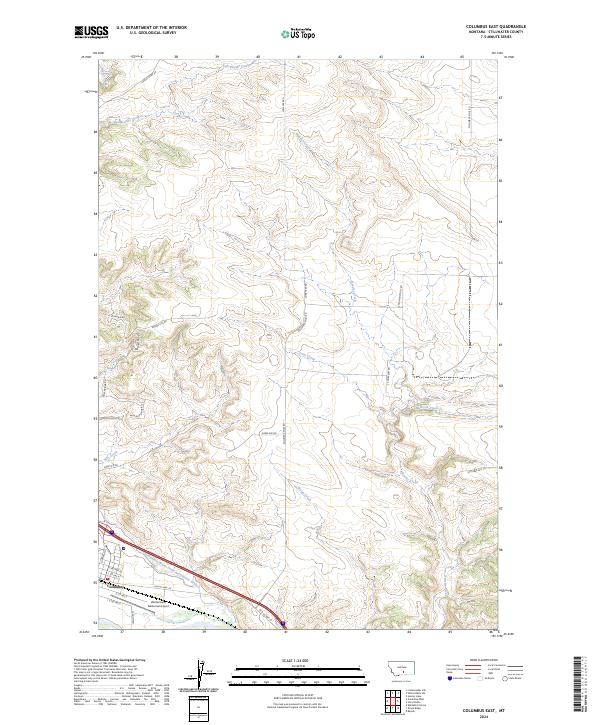
2024 Columbus East
Stillwater County, MT
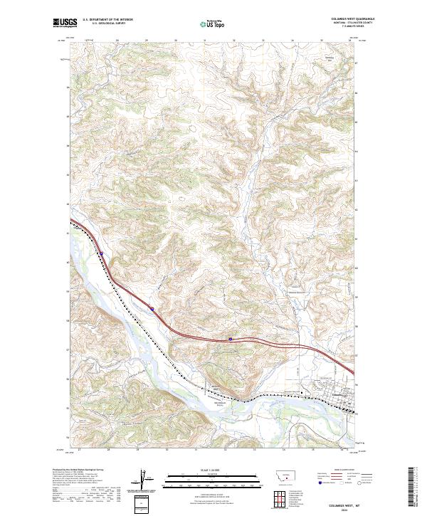
2024 Columbus West
Stillwater County, MT
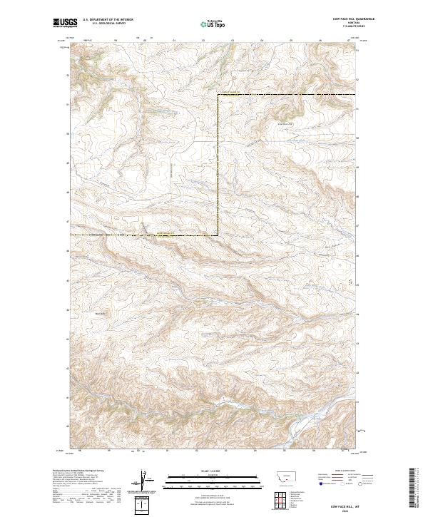
2024 Cow Face Hill
Stillwater County, MT
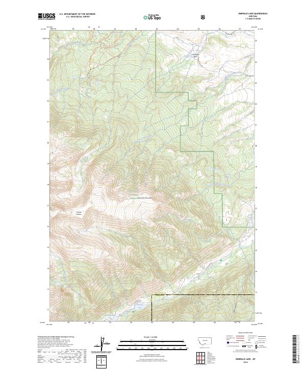
2024 Emerald Lake
Stillwater County, MT
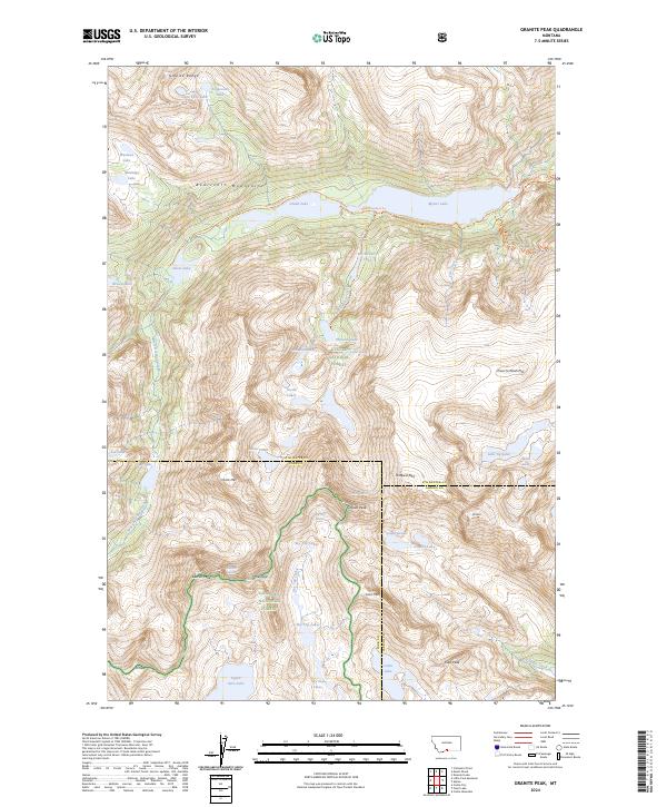
2024 Granite Peak
Stillwater County, MT
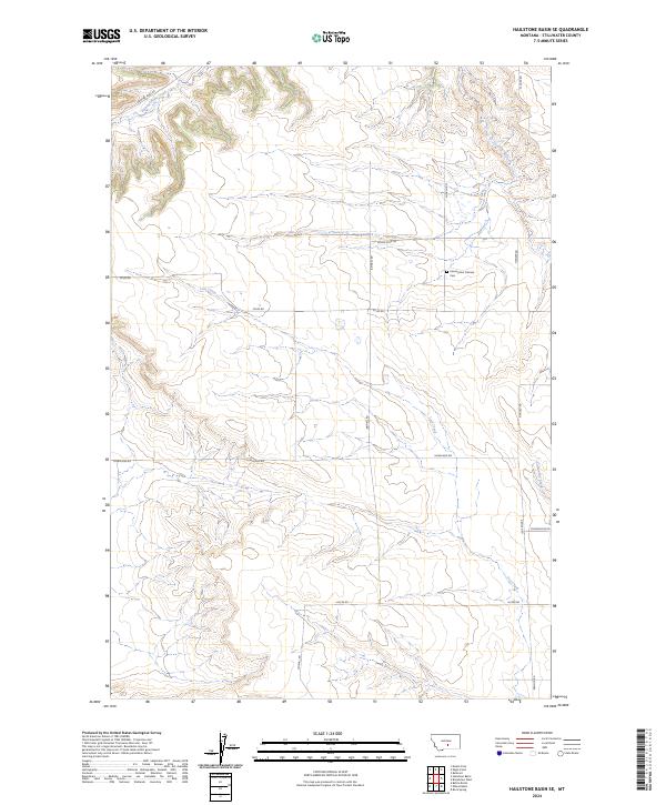
2024 Hailstone Basin SE
Stillwater County, MT
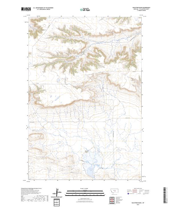
2024 Hailstone Basin
Stillwater County, MT
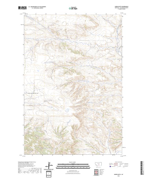
2024 Horse Butte
Stillwater County, MT
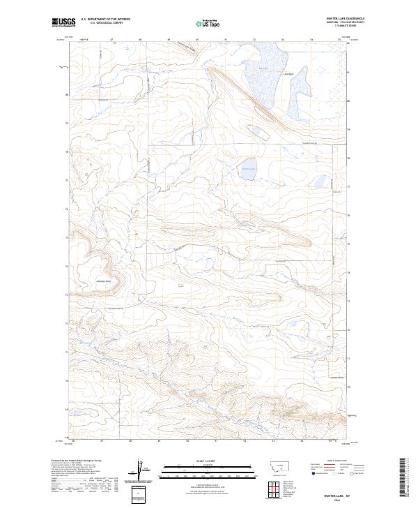
2024 Hunter Lake
Stillwater County, MT
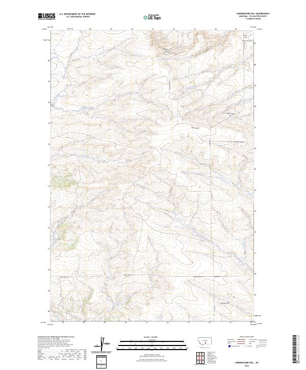
2024 Lindemulder Hill
Stillwater County, MT
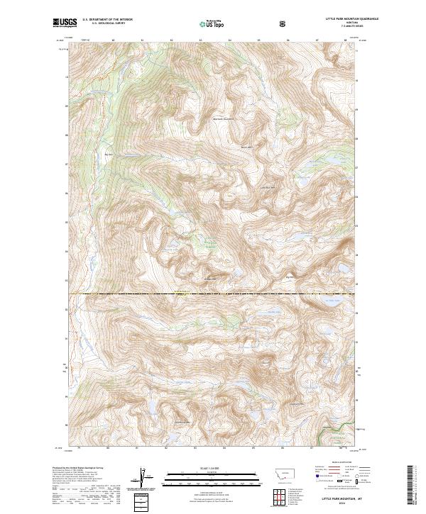
2024 Little Park Mountain
Stillwater County, MT
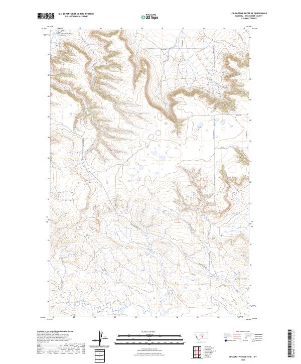
2024 Locomotive Butte SE
Stillwater County, MT
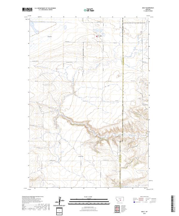
2024 Molt
Stillwater County, MT

2024 Mount Wood
Stillwater County, MT
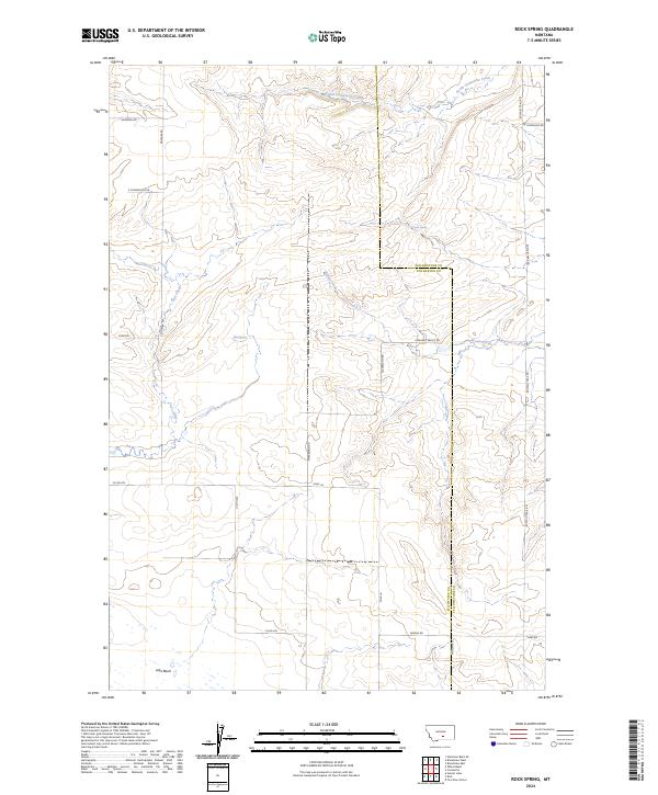
2024 Rock Spring
Stillwater County, MT
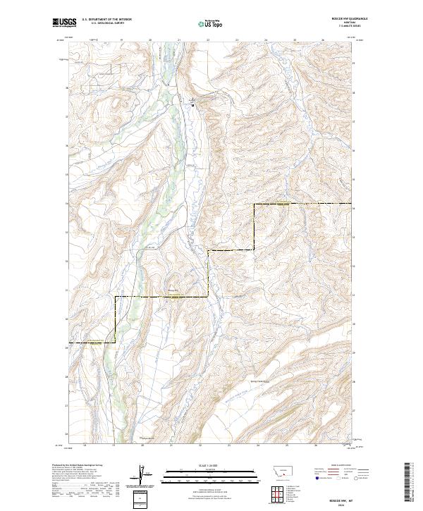
2024 Roscoe NW
Stillwater County, MT
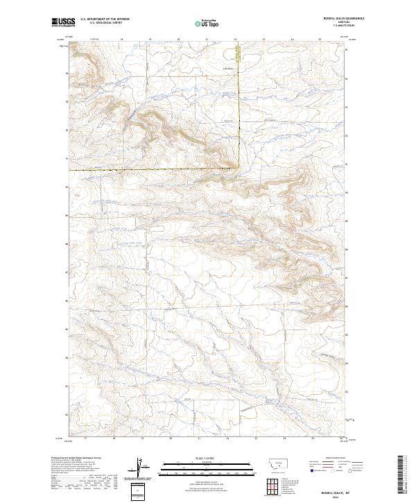
2024 Russell Gulch
Stillwater County, MT
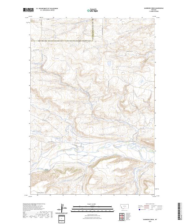
2024 Sandborn Creek
Stillwater County, MT
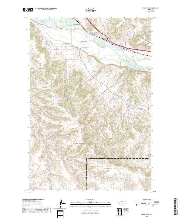
2024 Shane Ridge
Stillwater County, MT
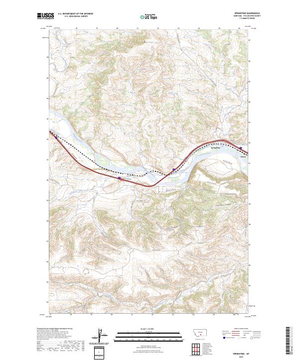
2024 Springtime
Stillwater County, MT
2024 Wheat Basin
Stillwater County, MT
2024 Wheat Basin SW
Stillwater County, MT
2024 Whitebird School
Stillwater County, MT