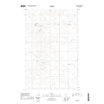
2020 Map of O'Juel Lake
USGS Topo · Published 2020About this map
Opheim Hills and the Dahl Hills define the high ground of this Valley County landscape, where the drainage patterns of the Missouri River watershed are intricately carved into the terrain. The presence of the Floyd Ranch Airport suggests the continued importance of private aviation in managing these expansive ranchlands. Water sources are critical markers in this arid environment, represented by named features such as Dashers Spring, Georges Pond, and the ephemeral O'Juel Lake. The map details a complex network of coulees, including Coyote Coulee, Paudols Coulee, and Shaw Coulee, which channel runoff toward the Middle Fork Porcupine Cr. This topography reflects the necessity of controlling water access for livestock and local transport, with routes like Theony Rd and Golden Valley Rd providing the primary threads of connectivity across the township and range lines.
Find a feature on this map
23 named features on this map. Tap any name to fly to it.
Don’t see what you’re looking for? This feature index may not catch every label — zoom into the map to look around manually.
Map Details
Editions of this 2020 O'Juel Lake Map
This is the sole edition of this map. No revisions or reprints were ever made.
Other maps of this area
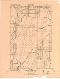
1919 · Boundary
USGS Topo · 1:125,000

1954 · Glasgow
USGS Topo · 1:250,000

1957 · Glasgow
USGS Topo · 1:250,000

1958 · Glasgow
USGS Topo · 1:250,000
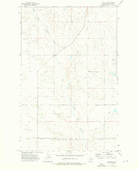
1973 · Baylor
USGS Topo · 1:24,000
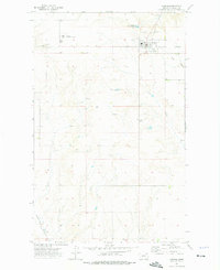
1973 · Opheim
USGS Topo · 1:24,000
1973 · Roanwood
USGS Topo · 1:24,000
1984 · O'Juel Lake
USGS Topo · 1:24,000
1984 · Opheim
USGS Topo · 1:100,000
1984 · Dodge Reservoir
USGS Topo · 1:24,000