
1958 Map of O'Neill
USGS Topo · Published 1959About this map
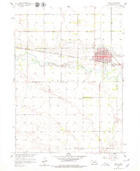
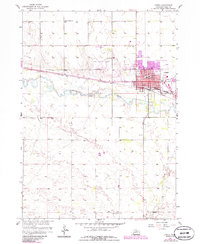
O'Neill serves as the focal point of this Holt County landscape, positioned at a vital junction where the Chicago and North Western and C B & Q railroads intersect. The town's mid-century footprint is detailed with civic landmarks including the Po, CH, and a hospital, while the outskirts show the influence of modern transit with the O'Neill Municipal Airport and a roadside Drive-in Theater. To the south, the Elkhorn River meanders through the township of Grattan, flanked by the smaller course of Dry Creek. Beyond the municipal limits, the map documents a rural network of social and educational centers such as Center Union Ch and School No 165, reflecting the agricultural character of the region. Local industry is represented by scattered Gravel Pits and the essential infrastructure of the City Wells.
Find a feature on this map
23 named features on this map. Tap any name to fly to it.
Don’t see what you’re looking for? This feature index may not catch every label — zoom into the map to look around manually.
Map Details
Editions of this 1958 O'Neill Map
3 editions found
Other maps of this area

1954 · Atkinson SE
USGS Topo · 1:24,000

1954 · Opportunity
USGS Topo · 1:24,000

1954 · Meek SW
USGS Topo · 1:24,000

1955 · O'Neill
USGS Topo · 1:250,000

1958 · Inman
USGS Topo · 1:24,000

1959 · O'Neill
USGS Topo · 1:250,000

1964 · O'Neill SE
USGS Topo · 1:24,000

1964 · Emmet SE
USGS Topo · 1:24,000

1964 · O'Neill SW
USGS Topo · 1:24,000

1964 · Emmet
USGS Topo · 1:24,000