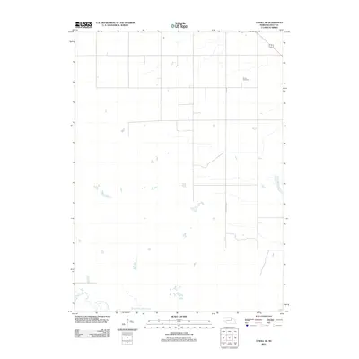
2011 Map of O'Neill SE
USGS Topo · Published 2011About this map
South Fork Elkhorn River meanders across the southern portion of this Holt County landscape, illustrating the natural drainage patterns that define this section of the Nebraska plains. In the early 21st century, the area remains largely characterized by a sparse, grid-like road network, including Country Road 77, which connects isolated agricultural parcels and homesteads. The Inman Cemetery stands as a primary landmark for genealogical research, situated in the northeast quadrant near the crossing of U.S. Routes 20 and 275. The map reflects a predominantly rural environment where water management and transportation routes are the central features of the human imprint on the land.
Find a feature on this map
5 named features on this map. Tap any name to fly to it.
Don’t see what you’re looking for? This feature index may not catch every label — zoom into the map to look around manually.
Map Details
Editions of this 2011 O'Neill SE Map
This is the sole edition of this map. No revisions or reprints were ever made.
Other maps of this area

1955 · O'Neill
USGS Topo · 1:250,000

1958 · O'Neill
USGS Topo · 1:24,000

1958 · Inman
USGS Topo · 1:24,000

1958 · Page
USGS Topo · 1:24,000

1959 · O'Neill
USGS Topo · 1:250,000

1963 · Ewing SW
USGS Topo · 1:24,000

1963 · Deloit NW
USGS Topo · 1:24,000

1964 · O'Neill SE
USGS Topo · 1:24,000

1964 · O'Neill SW
USGS Topo · 1:24,000

1969 · O'Neill
USGS Topo · 1:250,000