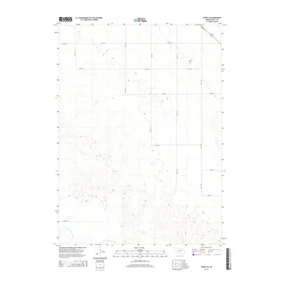
2014 Map of O'Neill SE
USGS Topo · Published 2014About this map
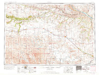
S Fork Elkhorn River meanders across the southern portion of this Holt County landscape, defining the local drainage before the terrain rises into the characteristic Nebraska sandhills. This 2014 survey captures a rural environment organized by a strict sectional grid, where long-established gravel routes like 865th Rd and 494th Ave provide access to remote farmsteads and agricultural tracts. A notable point for local genealogists is the Inman Cem, situated in the northeastern quadrant near the junction of several section lines. The map also highlights a modern transformation of the plains infrastructure with the Cowboy Trl, a recreational path following the historic rail corridor that once linked these isolated prairie communities to wider markets.
Find a feature on this map
15 named features on this map. Tap any name to fly to it.
Don’t see what you’re looking for? This feature index may not catch every label — zoom into the map to look around manually.
Map Details
Editions of this 2014 O'Neill SE Map
This is the sole edition of this map. No revisions or reprints were ever made.
Other maps of this area

1955 · O'Neill
USGS Topo · 1:250,000
1958 · O'Neill
USGS Topo · 1:24,000
1958 · Inman
USGS Topo · 1:24,000
1958 · Page
USGS Topo · 1:24,000

1959 · O'Neill
USGS Topo · 1:250,000
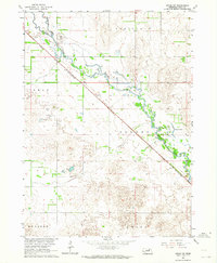
1963 · Ewing SW
USGS Topo · 1:24,000
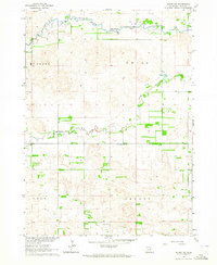
1963 · Deloit NW
USGS Topo · 1:24,000
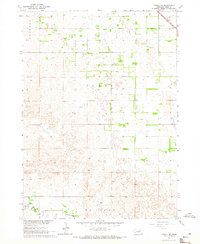
1964 · O'Neill SE
USGS Topo · 1:24,000
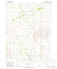
1964 · O'Neill SW
USGS Topo · 1:24,000
1969 · O'Neill
USGS Topo · 1:250,000