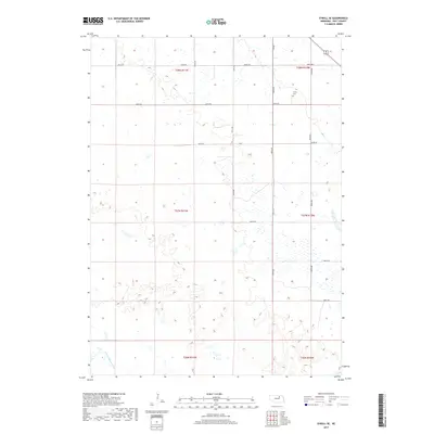
2017 Map of O'Neill SE
USGS Topo · Published 2017About this map
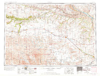
S Fork Elkhorn River winds through the southwestern corner of this Nebraska landscape, characterized by the expansive wetland complexes and sandy terrain typical of this portion of Holt County. The area is organized by a strict section-line road grid, including 865th Rd and 498th Ave, which delineate the agricultural and grazing lands of the Sandhills transition. A key site for local history and genealogy is the Inman Cem, located in the northeastern quadrant near the section line of t28n r10w. The map depicts a territory largely defined by natural water features and the township-and-range surveying system, showing the placement of rural sections from t28n r11w to t26n r10w. This 2017 survey reflects the persistent rural character of the region, where the intersection of hydrology and planned infrastructure remains central to the land's utility.
Find a feature on this map
18 named features on this map. Tap any name to fly to it.
Don’t see what you’re looking for? This feature index may not catch every label — zoom into the map to look around manually.
Map Details
Editions of this 2017 O'Neill SE Map
This is the sole edition of this map. No revisions or reprints were ever made.
Other maps of this area

1955 · O'Neill
USGS Topo · 1:250,000
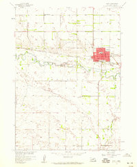
1958 · O'Neill
USGS Topo · 1:24,000
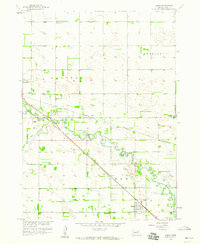
1958 · Inman
USGS Topo · 1:24,000
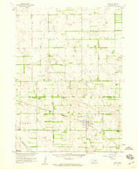
1958 · Page
USGS Topo · 1:24,000

1959 · O'Neill
USGS Topo · 1:250,000
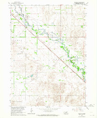
1963 · Ewing SW
USGS Topo · 1:24,000
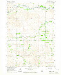
1963 · Deloit NW
USGS Topo · 1:24,000
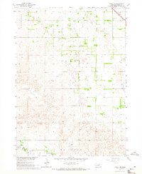
1964 · O'Neill SE
USGS Topo · 1:24,000
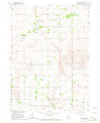
1964 · O'Neill SW
USGS Topo · 1:24,000
1969 · O'Neill
USGS Topo · 1:250,000