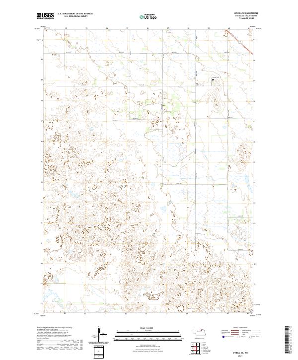
2021 Map of O'Neill SE
USGS Topo · Published 2021About this map
Holt County's sandhills and wetlands dominate this landscape southeast of O'Neill, where the S Fork Elkhorn River meanders through the southwestern corner of the quadrangle. The terrain is marked by an intricate network of small seasonal ponds and marshy depressions, typical of the Nebraska prairie's drainage patterns. Human activity is defined by a rigid section-line road system, including routes like 865th Rd and 864th Rd, which navigate around the numerous water pockets. For local history researchers, the Inman Cem stands as a primary genealogical landmark in the northeast, situated near the modern Cowboy Trl. This trail follows the path of a significant former transportation corridor, reflecting the shift from rail to recreational land use in the 21st century while maintaining the historic boundary lines of T28N R10W and T27N R10W.
Find a feature on this map
19 named features on this map. Tap any name to fly to it.
Don’t see what you’re looking for? This feature index may not catch every label — zoom into the map to look around manually.
Map Details
Editions of this 2021 O'Neill SE Map
This is the sole edition of this map. No revisions or reprints were ever made.
Other maps of this area

1955 · O'Neill
USGS Topo · 1:250,000

1958 · O'Neill
USGS Topo · 1:24,000

1958 · Inman
USGS Topo · 1:24,000

1958 · Page
USGS Topo · 1:24,000

1959 · O'Neill
USGS Topo · 1:250,000

1963 · Ewing SW
USGS Topo · 1:24,000

1963 · Deloit NW
USGS Topo · 1:24,000

1964 · O'Neill SE
USGS Topo · 1:24,000

1964 · O'Neill SW
USGS Topo · 1:24,000

1969 · O'Neill
USGS Topo · 1:250,000