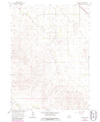
1964 Map of O'Neill SE
USGS Topo · Published 1986About this map
The S Fork Elkhorn R winds through the southwestern corner of this Holt County landscape, illustrating the essential relationship between water and early Nebraska settlement. This mid-century survey, updated in the 1980s, captures the rural character of the region where the Chicago and North Western railroad cuts across the northern edge of the terrain. The small community of Stafford and the nearby Inman Cem serve as vital anchor points for genealogists and local historians tracking family roots in this part of the Elkhorn River basin. The map reveals a transition from the structured river valley to the complex topography of the surrounding plains, providing a clear record of land use and transport patterns before modern agricultural shifts.
Find a feature on this map
4 named features on this map. Tap any name to fly to it.
Don’t see what you’re looking for? This feature index may not catch every label — zoom into the map to look around manually.
Map Details
Editions of this 1964 O'Neill SE Map
2 editions found
Other maps of this area

1955 · O'Neill
USGS Topo · 1:250,000

1958 · O'Neill
USGS Topo · 1:24,000

1958 · Inman
USGS Topo · 1:24,000

1958 · Page
USGS Topo · 1:24,000

1959 · O'Neill
USGS Topo · 1:250,000

1963 · Ewing SW
USGS Topo · 1:24,000

1963 · Deloit NW
USGS Topo · 1:24,000

1964 · O'Neill SE
USGS Topo · 1:24,000

1964 · O'Neill SW
USGS Topo · 1:24,000

1969 · O'Neill
USGS Topo · 1:250,000