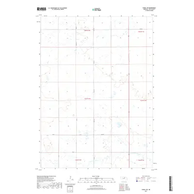
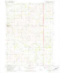
2017 Map of O'Neill SW
USGS Topo · Published 2017About this map
S Fork Elkhorn River meanders across the southern reaches of this landscape in Holt County, defining the drainage patterns of this rural Nebraska region. The terrain is marked by an intricate network of wetlands and seasonal watercourses, including the north-flowing Dry Cr, which cuts through the northern sections. This 2017 survey reveals a highly organized grid of rural section lines and township boundaries such as t27n r12w and t28n r11w. The road network is primarily composed of local routes like 859th Rd and 865th Rd, illustrating a landscape dedicated to agriculture and ranching where human infrastructure follows the strict geometry of the Public Land Survey System while navigating the natural curves of the river valley.
Find a feature on this map
13 named features on this map. Tap any name to fly to it.
Don’t see what you’re looking for? This feature index may not catch every label — zoom into the map to look around manually.
Map Details
Editions of this 2017 O'Neill SW Map
This is the sole edition of this map. No revisions or reprints were ever made.
Other maps of this area

1955 · O'Neill
USGS Topo · 1:250,000
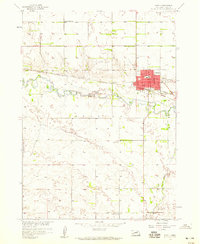
1958 · O'Neill
USGS Topo · 1:24,000
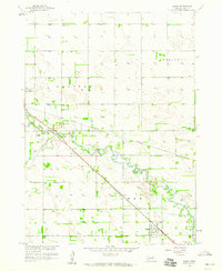
1958 · Inman
USGS Topo · 1:24,000

1959 · O'Neill
USGS Topo · 1:250,000
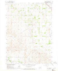
1964 · O'Neill SE
USGS Topo · 1:24,000
1964 · Emmet SE
USGS Topo · 1:24,000
1964 · O'Neill SW
USGS Topo · 1:24,000
1964 · Emmet
USGS Topo · 1:24,000
1969 · O'Neill
USGS Topo · 1:250,000
1981 · Chambers East
USGS Topo · 1:24,000