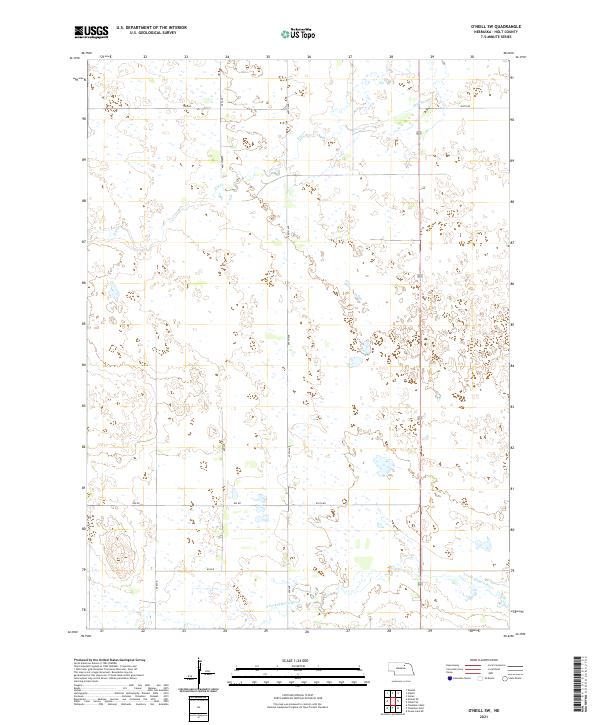
2021 Map of O'Neill SW
USGS Topo · Published 2021About this map
The S Fork Elkhorn River meanders across the southern portion of this Holt County landscape, defining the local drainage system as it flows eastward. This region of Nebraska is characterized by a sparse grid of rural corridors, including north-south routes like 489 Ave and 490 Ave that segment the prairie and agricultural lands. Along the northern edge, the intermittent flow of Dry Cr indicates the subtle topography and seasonal water patterns typical of this part of the state.
Find a feature on this map
20 named features on this map. Tap any name to fly to it.
Don’t see what you’re looking for? This feature index may not catch every label — zoom into the map to look around manually.
Map Details
Editions of this 2021 O'Neill SW Map
This is the sole edition of this map. No revisions or reprints were ever made.
Other maps of this area

1955 · O'Neill
USGS Topo · 1:250,000

1958 · O'Neill
USGS Topo · 1:24,000

1958 · Inman
USGS Topo · 1:24,000

1959 · O'Neill
USGS Topo · 1:250,000

1964 · O'Neill SE
USGS Topo · 1:24,000

1964 · Emmet SE
USGS Topo · 1:24,000

1964 · O'Neill SW
USGS Topo · 1:24,000

1964 · Emmet
USGS Topo · 1:24,000

1969 · O'Neill
USGS Topo · 1:250,000

1981 · Chambers East
USGS Topo · 1:24,000