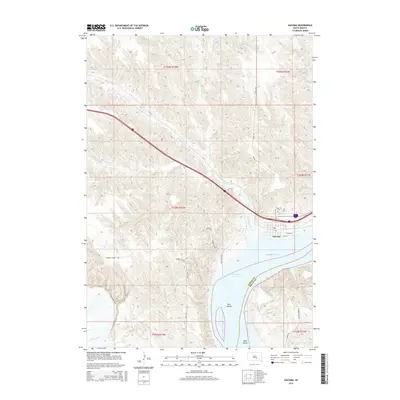
2015 Map of Oacoma
USGS Topo · Published 2015About this map
Oacoma sits at a strategic bend of the Missouri River in Lyman County, serving as a gateway where Interstate 90 crosses the water. This 2015 survey illustrates the modern landscape of the Missouri valley, dominated by the massive Lake Francis Case reservoir. The town's layout is centered around E Main St and E 1st St, with the Oacoma Cem positioned just north of the residential center. Several major tributaries converge near here, including the winding American Crow Cr and its N Fork American Crow Cr, which carve through the bluffs. To the south, the White River joins the main Missouri channel near Bird Island. The transition from riverine islands like Bice Island to the higher plateau reached via Cooper School Rd shows the dramatic elevation shifts characteristic of this region's river breaks.
Find a feature on this map
29 named features on this map. Tap any name to fly to it.
Don’t see what you’re looking for? This feature index may not catch every label — zoom into the map to look around manually.
Map Details
Editions of this 2015 Oacoma Map
This is the sole edition of this map. No revisions or reprints were ever made.
Other maps of this area
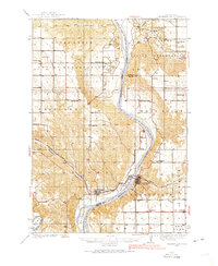
1935 · Chamberlain
USGS Topo · 1:62,500
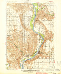
1939 · Chamberlain
USGS Topo · 1:62,500
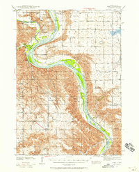
1940 · Iona
USGS Topo · 1:62,500
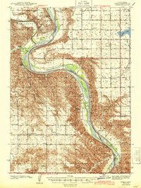
1944 · Iona
USGS Topo · 1:62,500
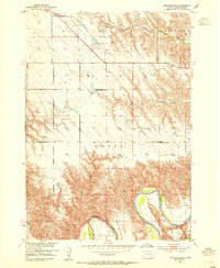
1952 · Reliance SE
USGS Topo · 1:24,000
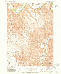
1952 · Hamill NE
USGS Topo · 1:24,000
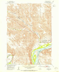
1952 · Oacoma
USGS Topo · 1:24,000
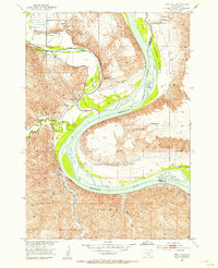
1952 · Iona NW
USGS Topo · 1:24,000
1955 · Mitchell
USGS Topo · 1:250,000
1959 · Mitchell
USGS Topo · 1:250,000