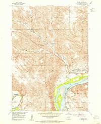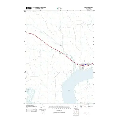
2021 Map of Oacoma
USGS Topo · Published 2021About this map
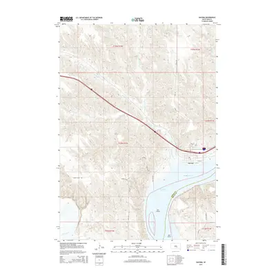
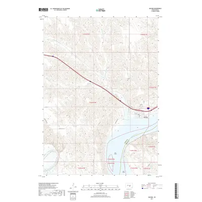
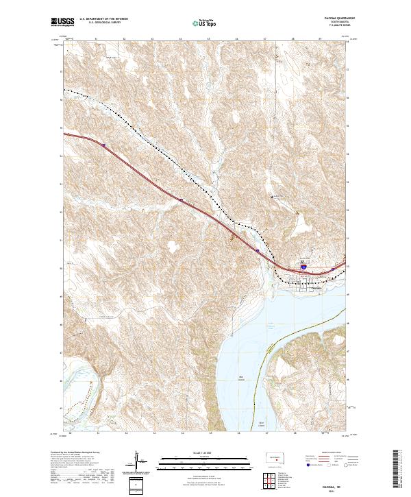
Oacoma occupies the western bluffs of the Missouri River valley, overlooking the expansive waters of Lake Francis Case. This modern landscape is defined by the convergence of major water systems, where the White River enters the Missouri from the south and American Crow Cr drains the northern uplands. The terrain is marked by intricate coulees and breaks that drop from the high prairie down to the riverbank, creating a complex series of ridges and draws that have historically funneled travel through this corridor.
Find a feature on this map
32 named features on this map. Tap any name to fly to it.
Don’t see what you’re looking for? This feature index may not catch every label — zoom into the map to look around manually.
Map Details
Editions of this 2021 Oacoma Map
This is the sole edition of this map. No revisions or reprints were ever made.
Historical Maps of Oacoma Through Time
5 maps found