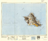
1954 Map of Oahu
USGS Topo · Published 1954About this map
Honolulu serves as the focal point for this mid-century look at Oahu, where the sprawling urban footprint transitions into the massive defense infrastructure of Pearl Harbor and Hickam Air Force Base. The map reveals the island's mid-1950s geography, from the interior industrial presence at Wahiawa and the Schofield Barracks Military Reservation to the coastal plantations and smaller villages like Libbyville and Waimanalo Settlement. Transportation networks include the OR and L Co railway lines, which trace the southern and western coastlines before the era of modern interstate expansion.
Find a feature on this map
88 named features on this map. Tap any name to fly to it.
Don’t see what you’re looking for? This feature index may not catch every label — zoom into the map to look around manually.
Map Details
Editions of this 1954 Oahu Map
This is the sole edition of this map. No revisions or reprints were ever made.
Other maps of this area
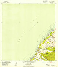
1952 · Waimea
USGS Topo · 1:24,000
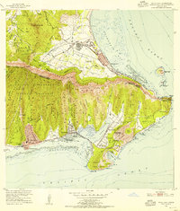
1952 · Koko Head
USGS Topo · 1:24,000
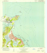
1952 · Mokapu
USGS Topo · 1:24,000
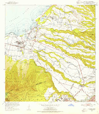
1953 · Haleiwa
USGS Topo · 1:24,000
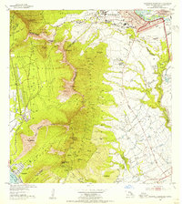
1953 · Schofield Barracks
USGS Topo · 1:24,000
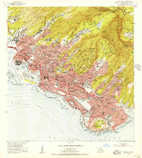
1953 · Honolulu
USGS Topo · 1:24,000
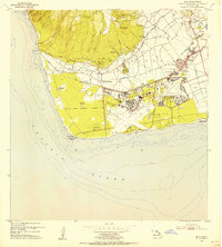
1953 · Ewa
USGS Topo · 1:24,000
1953 · Puuloa
USGS Topo · 1:24,000
1953 · Hauula
USGS Topo · 1:24,000
1954 · Maui
USGS Topo · 1:250,000