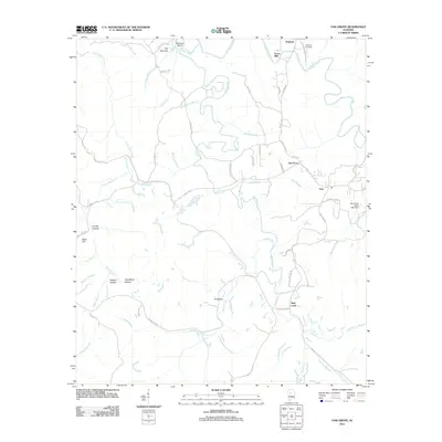
2011 Map of Oak Grove
USGS Topo · Published 2011About this map
Vines Mill and Toadvine anchor the northern landscape of this Jefferson County territory, where the sharp hydrology of The Narrows and Sextons Bend marks the path of Mud Creek. The 2011 survey documents a region defined by its narrow hollows and family-named elevations, such as Betty Hill and Starkey Hollow. The settlement at Oak Grove serves as a central junction, connected by a network of rural routes like Lock 17 Rd and Mud Creek Rd. Local industry and heritage are visible in the Oak Grove Mine Lake Dam and the Toadvine Cemetery near the banks of Valley Creek. The intricate drainage system, including Hurricane Creek and Shoal Creek, underscores the geographic complexity of this Alabama coal-region topography.
Find a feature on this map
59 named features on this map. Tap any name to fly to it.
Don’t see what you’re looking for? This feature index may not catch every label — zoom into the map to look around manually.
Map Details
Editions of this 2011 Oak Grove Map
This is the sole edition of this map. No revisions or reprints were ever made.
Other maps of this area

1893 · Jasper
USGS Topo · 1:125,000

1899 · Brookwood
USGS Topo · 1:125,000

1927 · Adger
USGS Topo · 1:48,000

1929 · Searles
USGS Topo · 1:48,000

1932 · Yolande
USGS Topo · 1:62,500

1934 · Searles
USGS Topo · 1:62,500

1935 · Port Birmingham
USGS Topo · 1:48,000

1935 · Yolande
USGS Topo · 1:62,500

1938 · Port Birmingham
USGS Topo · 1:62,500

1949 · Tutwiler School
USGS Topo · 1:24,000