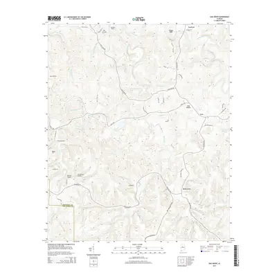
2014 Map of Oak Grove
USGS Topo · Published 2014About this map
Valley Creek winds through the northern reaches of this Jefferson and Tuscaloosa County borderland, passing through Sextons Bend and past the historic site of Vines Mill. The landscape is defined by its deep hollows and named ridges, including Grindstone Hollow, Starkey Hollow, and Linney Hollow, reflecting a legacy of rural life and landform-based navigation. Settlements like Toadvine and Oak Grove serve as local anchors, while the Toadvine Cem offers a focal point for genealogical research in this part of Alabama.
Find a feature on this map
64 named features on this map. Tap any name to fly to it.
Don’t see what you’re looking for? This feature index may not catch every label — zoom into the map to look around manually.
Map Details
Editions of this 2014 Oak Grove Map
This is the sole edition of this map. No revisions or reprints were ever made.
Other maps of this area
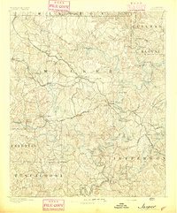
1893 · Jasper
USGS Topo · 1:125,000
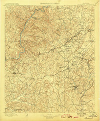
1899 · Brookwood
USGS Topo · 1:125,000
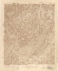
1927 · Adger
USGS Topo · 1:48,000
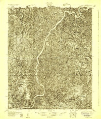
1929 · Searles
USGS Topo · 1:48,000
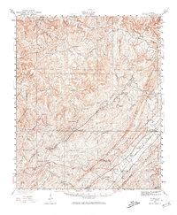
1932 · Yolande
USGS Topo · 1:62,500
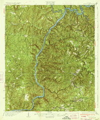
1934 · Searles
USGS Topo · 1:62,500
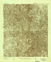
1935 · Port Birmingham
USGS Topo · 1:48,000
1935 · Yolande
USGS Topo · 1:62,500
1938 · Port Birmingham
USGS Topo · 1:62,500
1949 · Tutwiler School
USGS Topo · 1:24,000