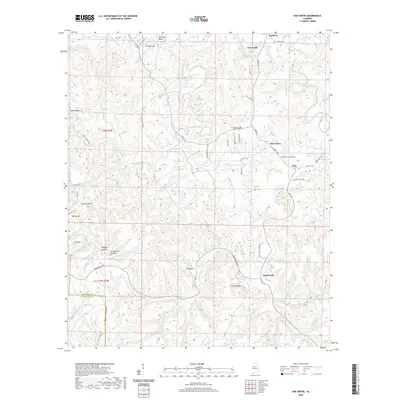
2020 Map of Oak Grove
USGS Topo · Published 2020About this map
Vines Mill and the surrounding woodlands of western Jefferson and eastern Tuscaloosa counties are defined by a complex network of hollows and winding creek beds in this recent survey. The settlement of Toadvine sits near the northern boundary, closely associated with the Toadvine Cem, while the community of Oak Grove and the nearby Ezra anchor the eastern hills. The landscape is characterized by its dramatic drainage patterns, featuring prominent terrain markers like The Narrows and Sextons Bend along the water. The map traces several family-named landmarks and historical corridors, including Coon Hollow and Linney Hollow. Significant industrial and transit history is signaled by Oak Grove Mine Rd and Lock 17 Rd, reflecting the region's long-standing connection to local mining and the waterways that once powered early industry.
Find a feature on this map
61 named features on this map. Tap any name to fly to it.
Don’t see what you’re looking for? This feature index may not catch every label — zoom into the map to look around manually.
Map Details
Editions of this 2020 Oak Grove Map
This is the sole edition of this map. No revisions or reprints were ever made.
Other maps of this area

1893 · Jasper
USGS Topo · 1:125,000

1899 · Brookwood
USGS Topo · 1:125,000

1927 · Adger
USGS Topo · 1:48,000

1929 · Searles
USGS Topo · 1:48,000

1932 · Yolande
USGS Topo · 1:62,500

1934 · Searles
USGS Topo · 1:62,500

1935 · Port Birmingham
USGS Topo · 1:48,000

1935 · Yolande
USGS Topo · 1:62,500

1938 · Port Birmingham
USGS Topo · 1:62,500

1949 · Tutwiler School
USGS Topo · 1:24,000