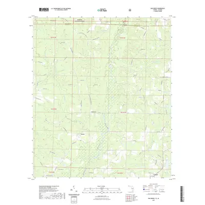
2021 Map of Oak Grove
USGS Topo · Published 2021About this map
The Yellow River flows southward through this corner of the Florida-Alabama borderlands, carving a path through the timberlands of Conecuh National Forest and the surrounding rural landscape. This modern survey illustrates a region defined by its waterway and a series of long-standing community centers including Oak Grove, Peaden, and Campton. The distribution of family and community burial grounds, such as Newell Cem, Rock Hill Cem, and Stewart Cem, reflects the genealogy of local settlement patterns that have persisted for generations.
Find a feature on this map
83 named features on this map. Tap any name to fly to it.
Don’t see what you’re looking for? This feature index may not catch every label — zoom into the map to look around manually.
Map Details
Editions of this 2021 Oak Grove Map
This is the sole edition of this map. No revisions or reprints were ever made.
Other maps of this area

1949 · Crestview
USGS Topo · 1:62,500

1949 · Laurel Hill
USGS Topo · 1:62,500

1950 · Laurel Hill
USGS Topo · 1:62,500

1951 · Crestview
USGS Topo · 1:62,500

1953 · Andalusia
USGS Topo · 1:250,000

1957 · Andalusia
USGS Topo · 1:250,000

1957 · Pensacola
USGS Topo · 1:250,000

1959 · Pensacola
USGS Topo · 1:250,000

1960 · Pensacola
USGS Topo · 1:250,000

1971 · Bradley
USGS Topo · 1:24,000