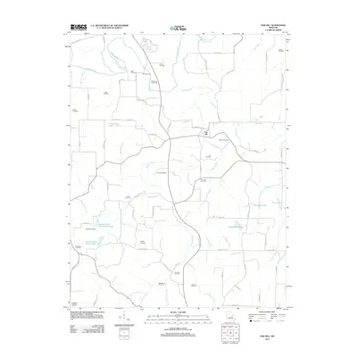
2012 Map of Oak Hill
USGS Topo · Published 2012About this map
The Bourbeuse River winds through this rural landscape in the Eastern Ozarks, shaping a region defined by family-named landmarks and scattered agricultural tracts. The small settlement of Oak Hill serves as a local hub, while the surrounding countryside is densely punctuated by small burial grounds, including the Pinnell Cemetery, Aunt Pop Cemetery, and Hamilton Cemetery. These sites, along with others like the McIntire Cemetery and Miller Cemetery, offer significant points of interest for those researching the lineage of early settlers in this part of Crawford County.
Find a feature on this map
75 named features on this map. Tap any name to fly to it.
Don’t see what you’re looking for? This feature index may not catch every label — zoom into the map to look around manually.
Map Details
Editions of this 2012 Oak Hill Map
This is the sole edition of this map. No revisions or reprints were ever made.
Other maps of this area

1903 · Sullivan
USGS Topo · 1:125,000

1934 · Bland
USGS Topo · 1:62,500

1934 · Redbird
USGS Topo · 1:62,500

1935 · Gerald
USGS Topo · 1:48,000

1937 · Bland
USGS Topo · 1:62,500

1938 · Redbird
USGS Topo · 1:62,500

1941 · Gerald
USGS Topo · 1:62,500

1944 · Gerald
USGS Topo · 1:62,500

1948 · Cuba
USGS Topo · 1:24,000

1948 · Leasburg
USGS Topo · 1:24,000