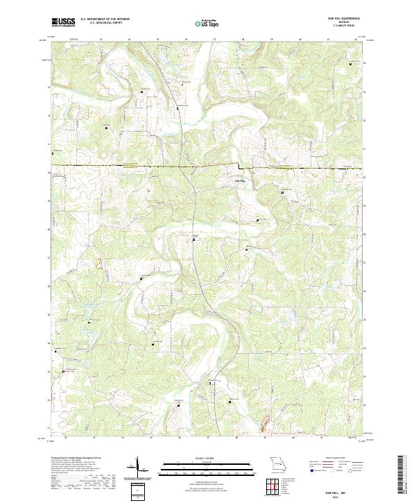
2021 Map of Oak Hill
USGS Topo · Published 2021About this map
The Bourbeuse River winds through the northern portion of this landscape, carving through a region defined by family-named cemeteries and rural roads that straddle the Gasconade and Crawford county line. The settlement of Oak Hill serves as a local hub, surrounded by dozens of small family burial grounds including Pinnell Cem, Aunt Pop Cem, and the Frederickson Family Cem. These sites, often located at the end of winding routes like Hog Trough Rd or Brandenburger Rd, provide essential data points for genealogical research in this part of Missouri.
Find a feature on this map
84 named features on this map. Tap any name to fly to it.
Don’t see what you’re looking for? This feature index may not catch every label — zoom into the map to look around manually.
Map Details
Editions of this 2021 Oak Hill Map
This is the sole edition of this map. No revisions or reprints were ever made.
Other maps of this area

1903 · Sullivan
USGS Topo · 1:125,000

1934 · Bland
USGS Topo · 1:62,500

1934 · Redbird
USGS Topo · 1:62,500

1935 · Gerald
USGS Topo · 1:48,000

1937 · Bland
USGS Topo · 1:62,500

1938 · Redbird
USGS Topo · 1:62,500

1941 · Gerald
USGS Topo · 1:62,500

1944 · Gerald
USGS Topo · 1:62,500

1948 · Cuba
USGS Topo · 1:24,000

1948 · Leasburg
USGS Topo · 1:24,000