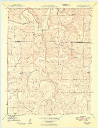
1949 Map of Oak Hill
USGS Topo · Published 1949About this map
Bourbeuse River meanders across the northern section of this Ozark upland, carving a deep valley that contrasts with the surrounding agricultural plateaus. The landscape reflects a deeply rooted rural society in the late 1940s, defined by its network of family cemeteries and one-room schoolhouses serving the local district. Small, named settlements like Oak Hill anchor the community, while the Jake Prairie Road provides a primary corridor through the southern terrain. This survey, coordinated by the Missouri Geological Survey, captures a specific era of connectivity, evidenced by the Airway Beacon on a high ridge and the distribution of institutions like High Point Sch and Threemile Sch. For the genealogist, the sheer density of burial grounds—including Pinnell Cem, Morris Cem, and McIntire Cem—offers an invaluable record of the families who settled the Crawford and Gasconade county line.
Find a feature on this map
38 named features on this map. Tap any name to fly to it.
Don’t see what you’re looking for? This feature index may not catch every label — zoom into the map to look around manually.
Map Details
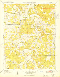
Editions of this 1949 Oak Hill Map
2 editions found
Other maps of this area

1903 · Sullivan
USGS Topo · 1:125,000

1934 · Bland
USGS Topo · 1:62,500

1934 · Redbird
USGS Topo · 1:62,500

1935 · Gerald
USGS Topo · 1:48,000

1937 · Bland
USGS Topo · 1:62,500

1938 · Redbird
USGS Topo · 1:62,500

1941 · Gerald
USGS Topo · 1:62,500

1944 · Gerald
USGS Topo · 1:62,500

1948 · Cuba
USGS Topo · 1:24,000

1948 · Leasburg
USGS Topo · 1:24,000