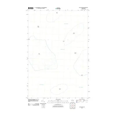
2010 Map of Oak Island
USGS Topo · Published 2010About this map
Oak Island and its surrounding archipelago define this maritime survey within Lake Superior, capturing the northern reaches of the Apostle Islands chain. The topography of the islands is marked by significant elevation changes, from the steep Clay Banks on the western shore of Oak Island to the coastal shelf of Manitou Island to the east. Human presence is concentrated at Manitou Camp, while the rest of the land remains largely defined by the natural contours of the shoreline. To the south, Hermit Island sits isolated in the lake, while the northern extent of the map includes Otter Island and the underwater hazard of Oak Island Shoal. The naming of Quarry Point on the southeastern coast of Manitou Island hints at the region's industrial past, where local sandstone was once a vital resource for Great Lakes construction.
Find a feature on this map
10 named features on this map. Tap any name to fly to it.
Don’t see what you’re looking for? This feature index may not catch every label — zoom into the map to look around manually.
Map Details
Editions of this 2010 Oak Island Map
This is the sole edition of this map. No revisions or reprints were ever made.
Other maps of this area

1941 · Bayfield
USGS Topo · 1:48,000

1946 · Bayfield
USGS Topo · 1:48,000

1953 · Ashland
USGS Topo · 1:250,000

1954 · Two Harbors
USGS Topo · 1:250,000

1957 · Two Harbors
USGS Topo · 1:250,000

1958 · Ashland
USGS Topo · 1:250,000

1958 · Two Harbors
USGS Topo · 1:250,000

1963 · Cat Island
USGS Topo · 1:24,000

1963 · Rocky Island
USGS Topo · 1:62,500

1963 · Oak Island
USGS Topo · 1:24,000