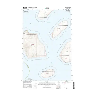
2015 Map of Oak Island
USGS Topo · Published 2015About this map
Apostle Islands National Lakeshore dominates this maritime survey, showcasing a cluster of islands in Lake Superior off the Wisconsin coast. The map illustrates the varied topography of these landmasses, from the prominent heights of Oak Island to the distinctive Clay Banks on its western shore. The surrounding waters are marked by hazards like Oak Island Shoal and the navigable West Channel between the islands. South of the main group, Hermit Island and the northern tip of Stockton Island appear, the latter featuring Quarry Point, which hints at the region's historical industrial uses. Smaller islands such as Otter Island, Manitou Island, and Bear Island are also detailed, reflecting the archipelago's complex geography. This 2015 edition maintains the boundary line between Ashland Co and Bayfield Co as it cuts through the open water and across the southern reach of Oak Island.
Find a feature on this map
17 named features on this map. Tap any name to fly to it.
Don’t see what you’re looking for? This feature index may not catch every label — zoom into the map to look around manually.
Map Details
Editions of this 2015 Oak Island Map
This is the sole edition of this map. No revisions or reprints were ever made.
Other maps of this area
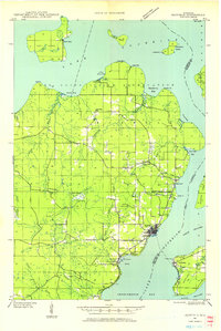
1941 · Bayfield
USGS Topo · 1:48,000
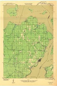
1946 · Bayfield
USGS Topo · 1:48,000
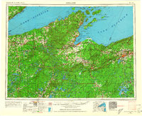
1953 · Ashland
USGS Topo · 1:250,000
1954 · Two Harbors
USGS Topo · 1:250,000
1957 · Two Harbors
USGS Topo · 1:250,000
1958 · Ashland
USGS Topo · 1:250,000
1958 · Two Harbors
USGS Topo · 1:250,000
1963 · Cat Island
USGS Topo · 1:24,000
1963 · Rocky Island
USGS Topo · 1:62,500
1963 · Oak Island
USGS Topo · 1:24,000